ADVENTURES AROUND THE WORLD
© Christopher Earls Brennen

Hike C8. Tonodake
- Hiking time: 5.5 hours
-
Estimated hiking distance: 4 miles

- Elevation gain: 3022 feet
- Topo Map: Attached
- Difficulties: Some scrambling
- Permit: None
Characteristics
Mt. Tonodake is one of the most popular destinations in the Tanzawa mountains and part of the Tanzawa-Oyama Quasi-National Park. The park lies in Kanagawa prefecture in central Honshu, not far west of Tokyo, Japan. The Tanzawa mountains include a number of peaks including Mt.Hirugatake, Mt.Oyama, Mt.Tanazawa as well as Mt.Tonodake. We describe here an ascent of Tonodake, a popular day hike.
Trailhead
We parked our car at the Tozawasanso Lodge near the Tenjin-one trailhead (elevation 1870ft).
Hike
We proceeded north from the Tenjin-one trailhead following the trail beside the stream for a short way to a junction where we turned right following the trail to the Masajiro-one Ridge. The trail climbs onto the Masajiro-one Ridge and generally proceeds up the ridgeline for about 2hrs to another trail junction at the 3967ft Gyojadake peak. Here we forked left toward Mt. Shindainichi (elevation 4396ft) which we reached after a further 50min of hiking.
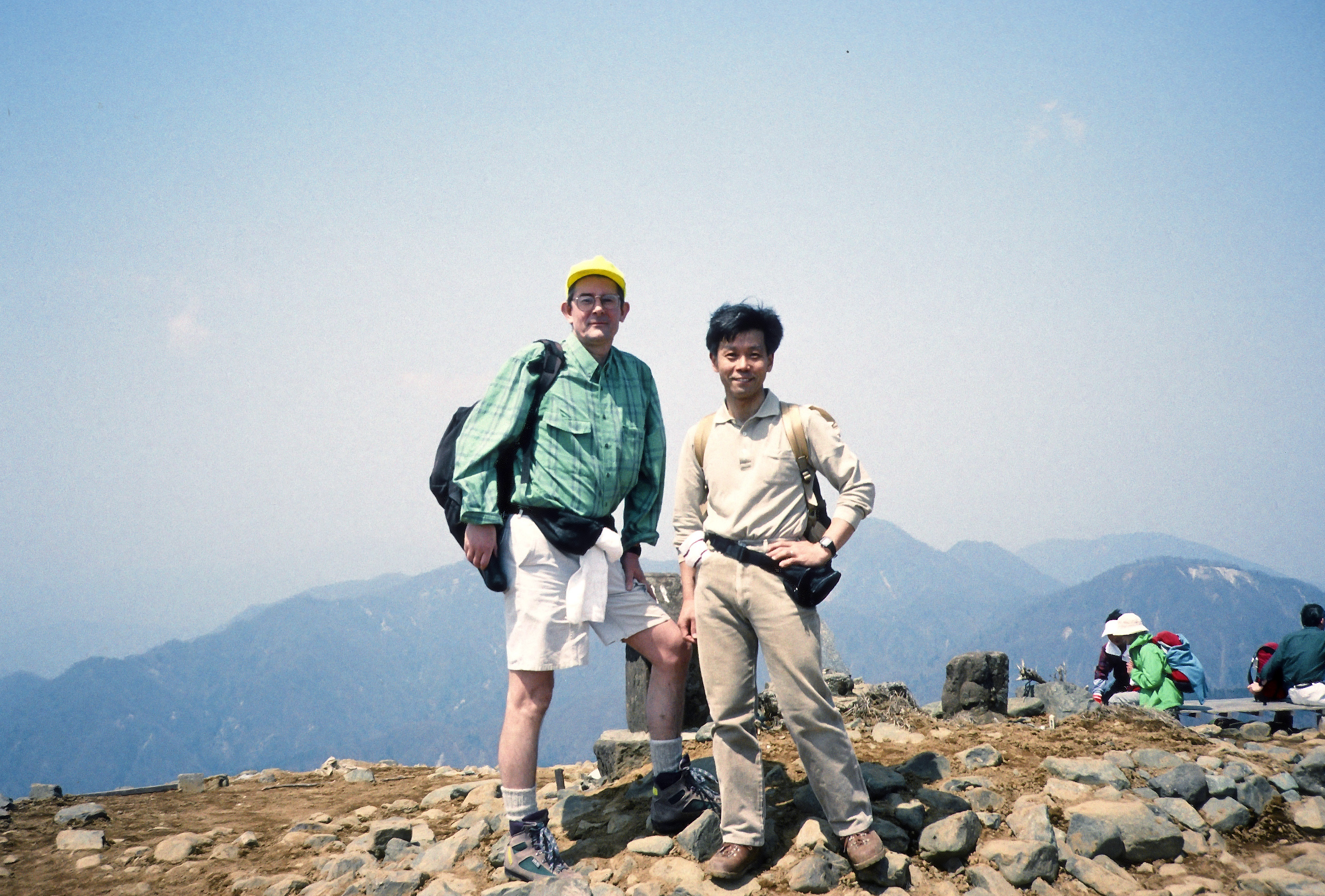
Proceeding west from Mt. Shindainichi (elevation 4396ft), the trail proceeds along the Omote ridge which runs through a relatively low shrub zone and provides good views of Mt. Fuji on sunny days. You pass the Kinomata Hut before the final climb to the summit of Mt. Tonodake (35o27'N 139o9'E , elevation 4892ft). It takes about 40min to climb from Shindainichi to Tonodake which is an open space with a spectacular 360-degree view and an information board depicting the mountains within that view. There is a mountain hut near the summit called Sonbutsu Sanso that sells souvenirs and light meals.
|
|---|
| On the summit of Tonodake, elevation 4892ft |
Last updated 1/27/23.
Christopher E. Brennen