ADVENTURE HIKES AND CANYONEERING
IN THE SAN GABRIELS
© Christopher Earls Brennen
Aerial Photographs of the San Gabriels
In August 1996 Garrett Reisman and I flew a reconnaissance mission over the San Gabriels in an attempt to discern the obstacles in some of the canyons we intended to descend. While the photographs turned out to be of little value in this respect they may nevertheless be of more general interest. Below I present some of the better photographs with my recollection, thirty years later, of the locations in the photographs and the route we flew.
From El Monte airfield we flew up San Gabriel Canyon, over the Morris and San Gabriel Dams. We turned left into the West Fork of San Gabriel Canyon and flew up over Cogswell Reservoir, over Red Box and down the Upper Arroyo Seco. From there we crossed over into Big Tujunga and up Fox Creek where we circled around trying to see into the Great Falls of the Fox (this was prior to our descent of that canyon). Back in the Big Tujunga we flew a short way up that canyon before flying east into the East Fork of the San Gabriel River and up over Iron Mountain to view Gunsight Notch on the San Antonio Ridge (again prior to our hike along that ridge). After circling over Gunsight Notch, we flew around the south side of Mt. Baldy and over the Devil's Backbone. Turning west we flew down Fish Fork and down the East Fork of the San Gabriel River, then across Upper Azusa Canyon and back into the Upper West Fork of the San Gabriel River. We the flew up Bear Creek to view Twin Peaks and veered down Devils Canyon to Cogswell Reservoir. Turning west up the West Fork of the San Gabriel River we turned south again to fly over Newcomb Pass and down the North Fork of Santa Anita Canyon. Passing over Mount Wilson we flew down Upper Eaton Canyon, over the Eaton Canyon Narrows and down over Eaton Falls, over Henninger Flats and back to the El Monte airfield.
In 2023 Johannna Turner was kind enough to identify a number of the photographs which I had been unable to identify. She did this by cleverly matching Google-Map views to the 1996 photographs. She also provided me with those Google-Map views and these are included below on the right just after the original 1996 view.
|
|---|
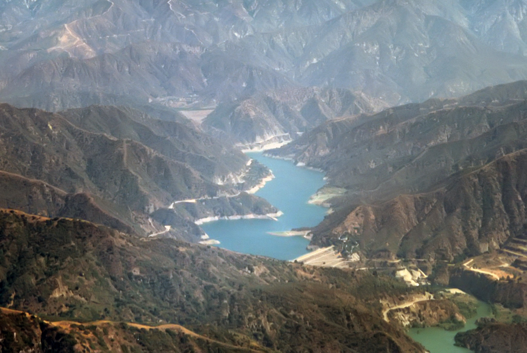
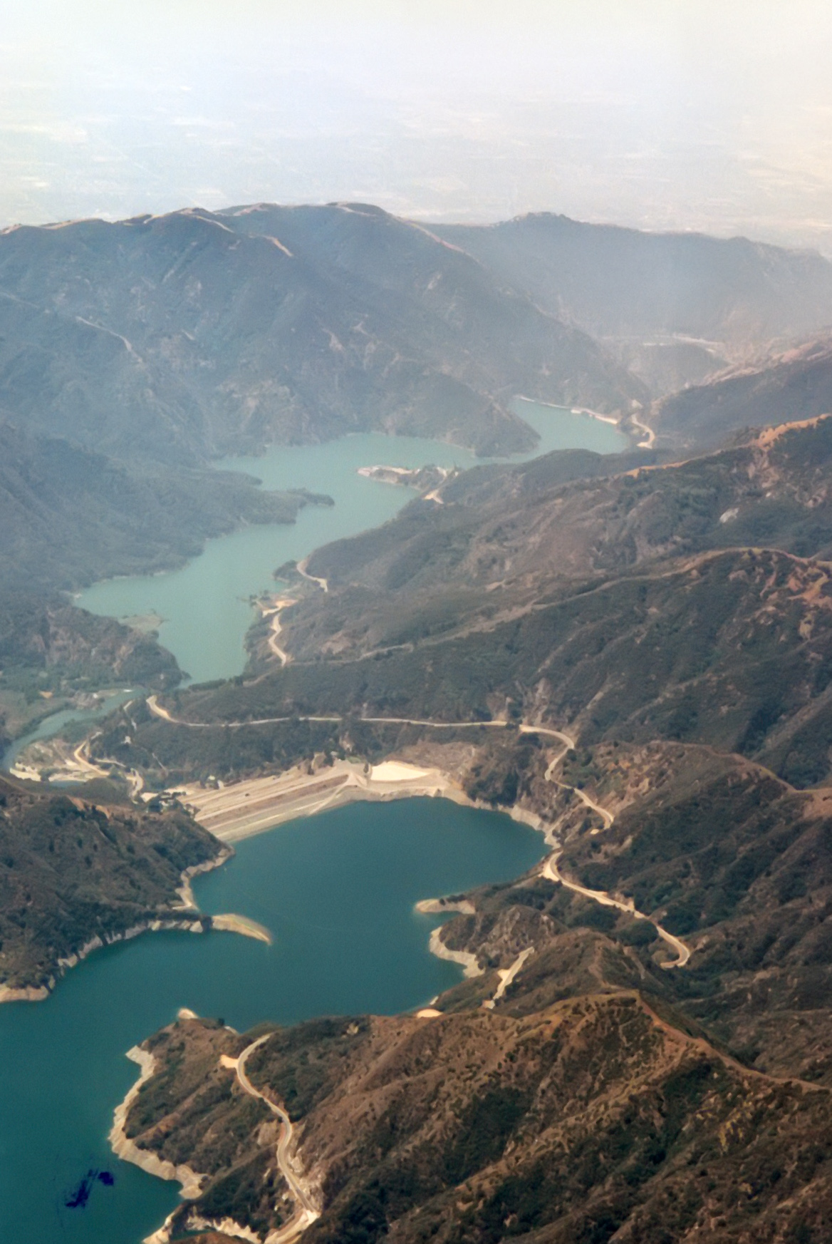
| 1996 Photo 04. San Gabriel Dam, Azusa Canyon with Morris Dam in the lower right. |
|
|---|
| 1996 Photo 07. An empty Cogswell Reservoir and the West Fork of the San Gabriel River. |
|
|---|
| 1996 Photo 08. Looking west down Upper Arroyo Seco canyon. In the rear the Angeles Crest Highway and above it the trail |
| and the road to Mt.Lukens. |
|
|---|
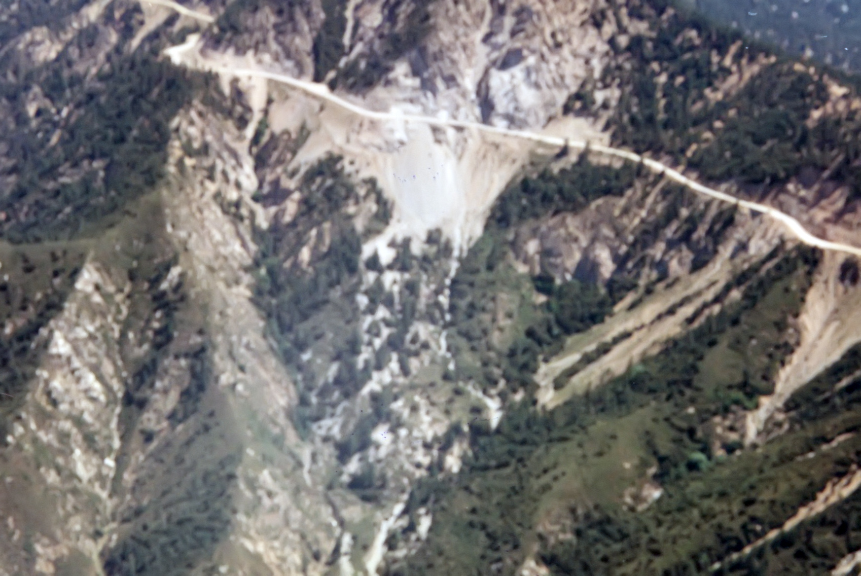
| 1996 Photo 09. The sand flat on top of the southern ridge of Upper Arroyo Seco canyon. |
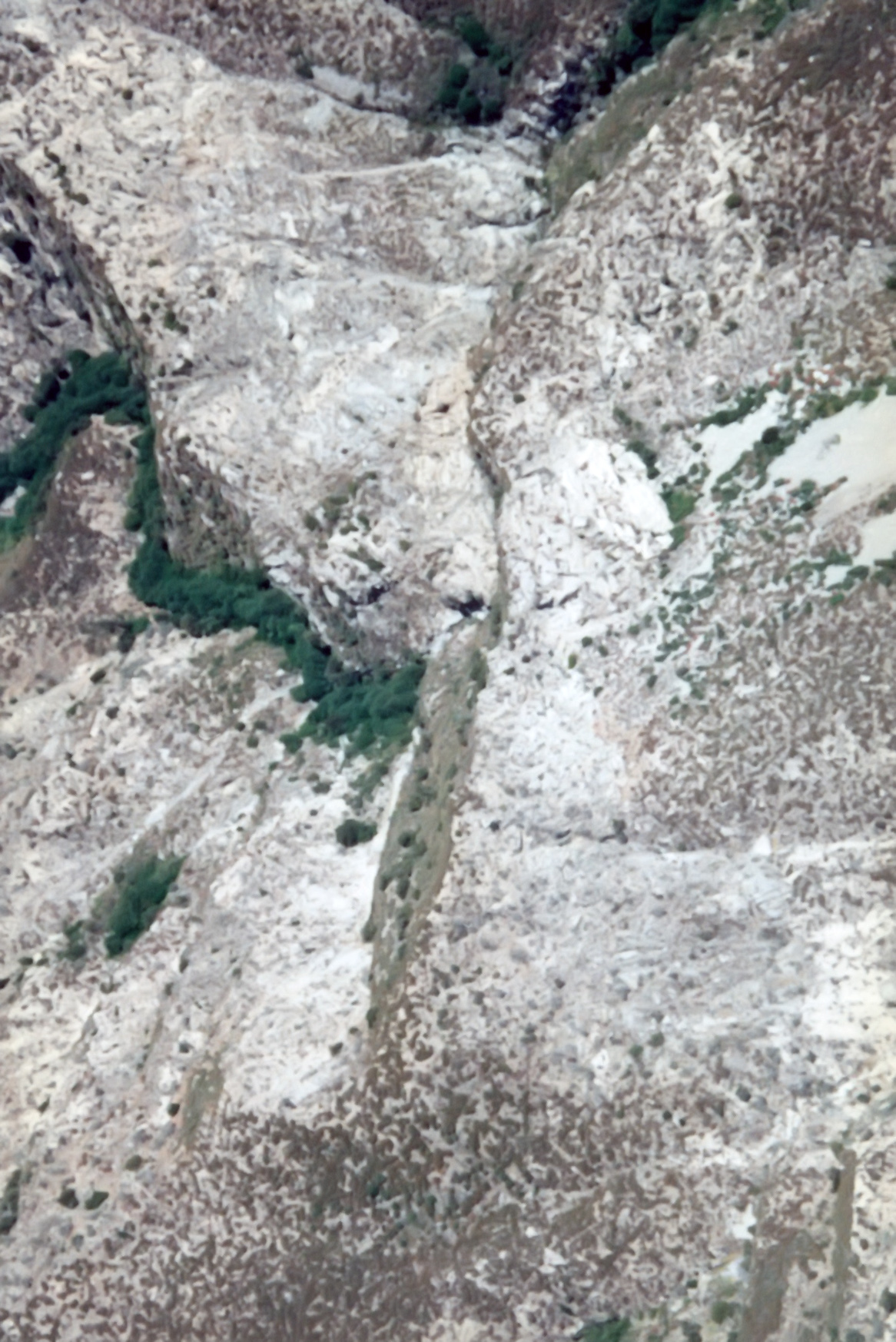
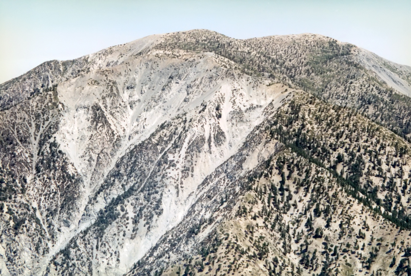
|
|---|
| 1996 Photo 11. Top of the Great Falls from south of the ridge south of the falls showing the Maxon ridge route in the upper right |
|
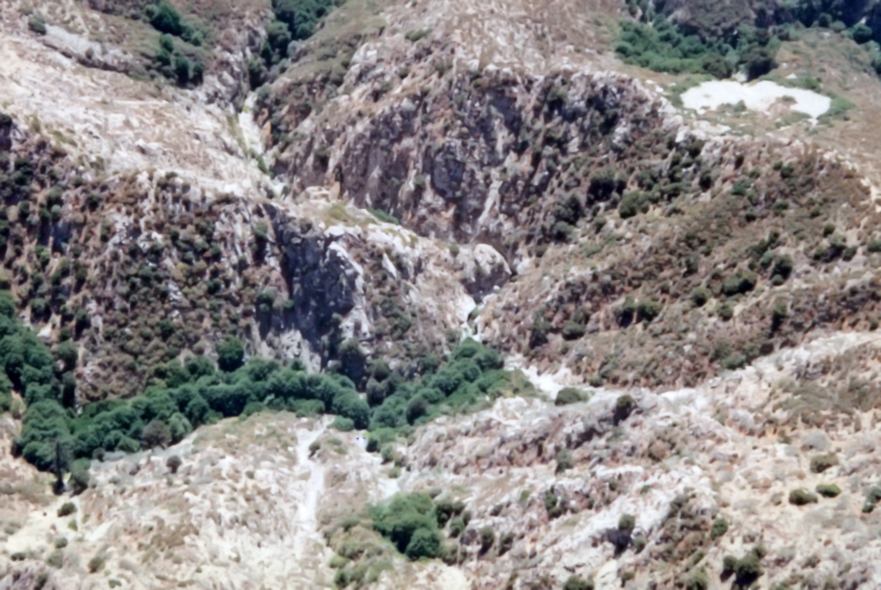
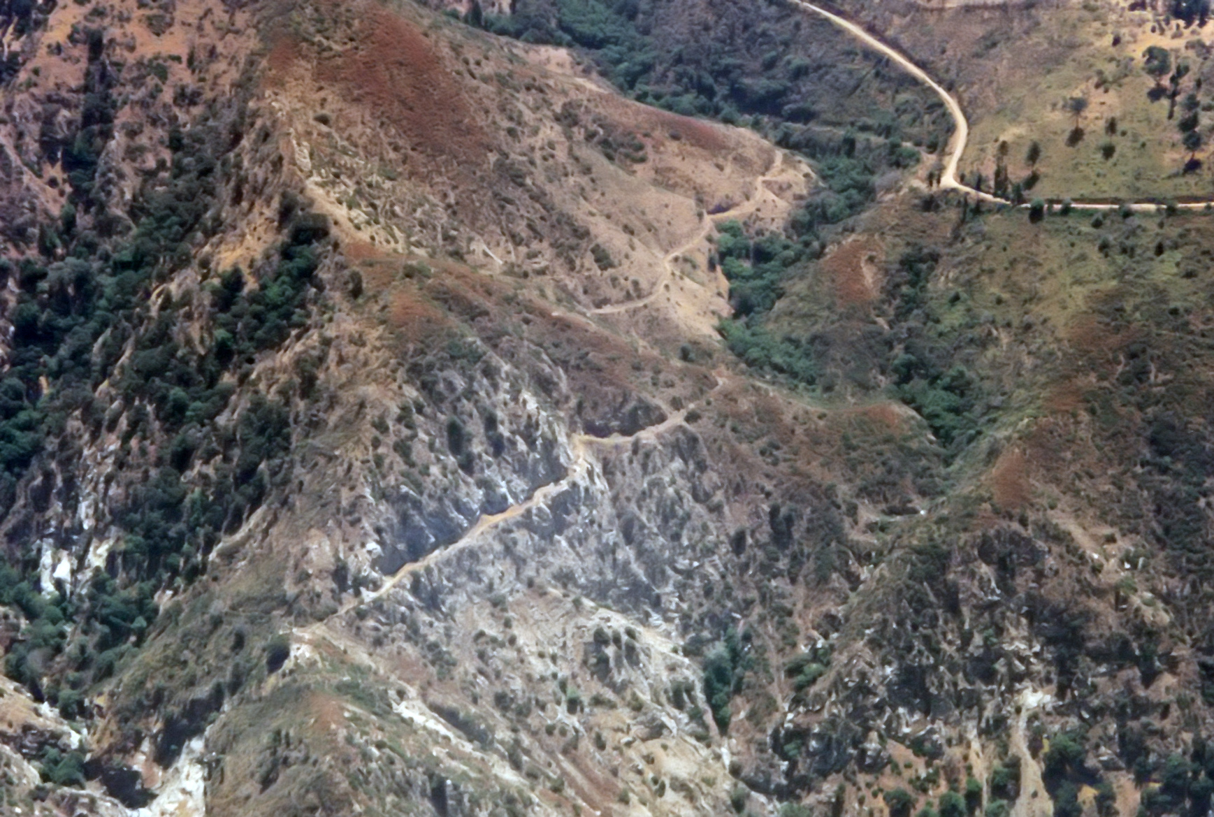
|---|
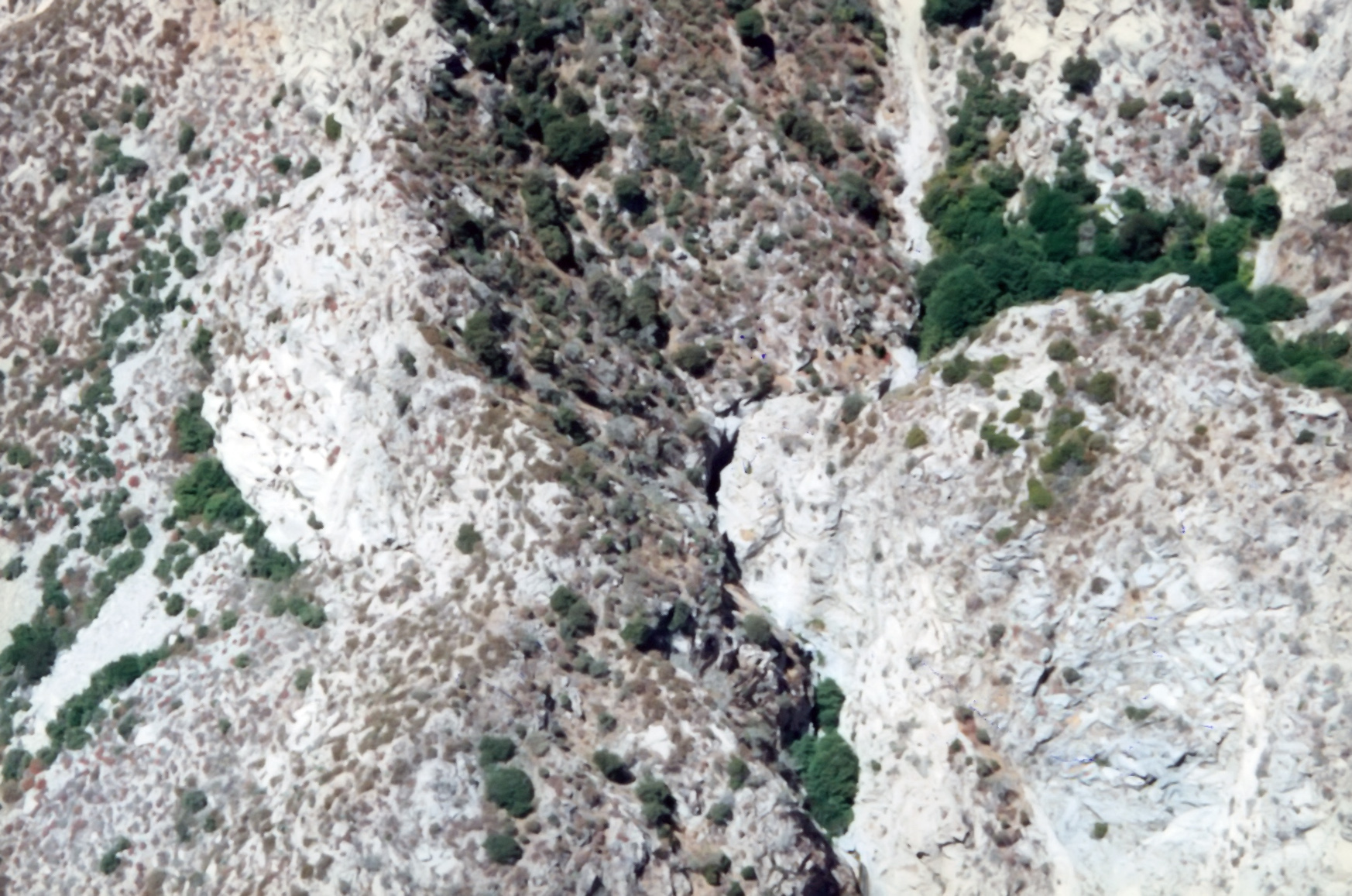
| 1996 Photo 12. Down the center: the Great Falls from the east with the approach and the Maxon ridge route in the upper right. |
| Lower Fox Canyon in the lower left. |
|
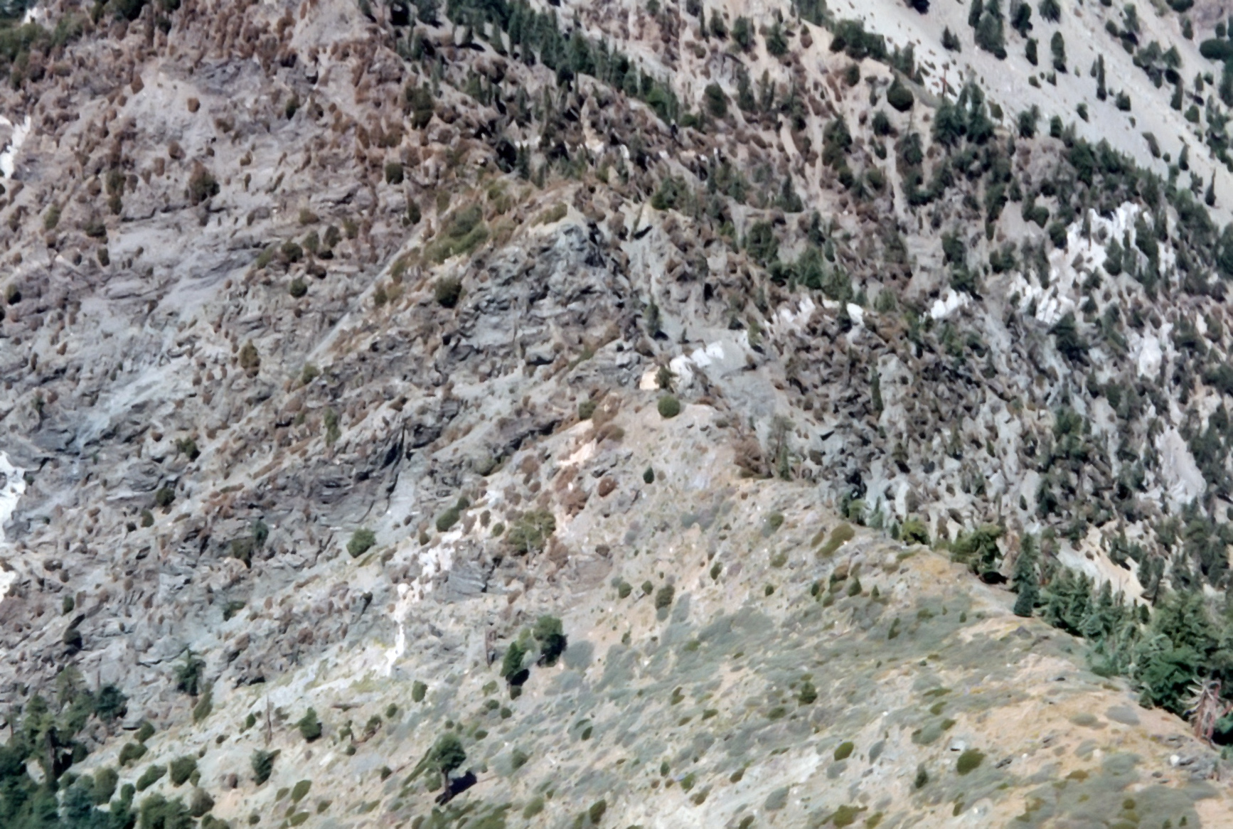
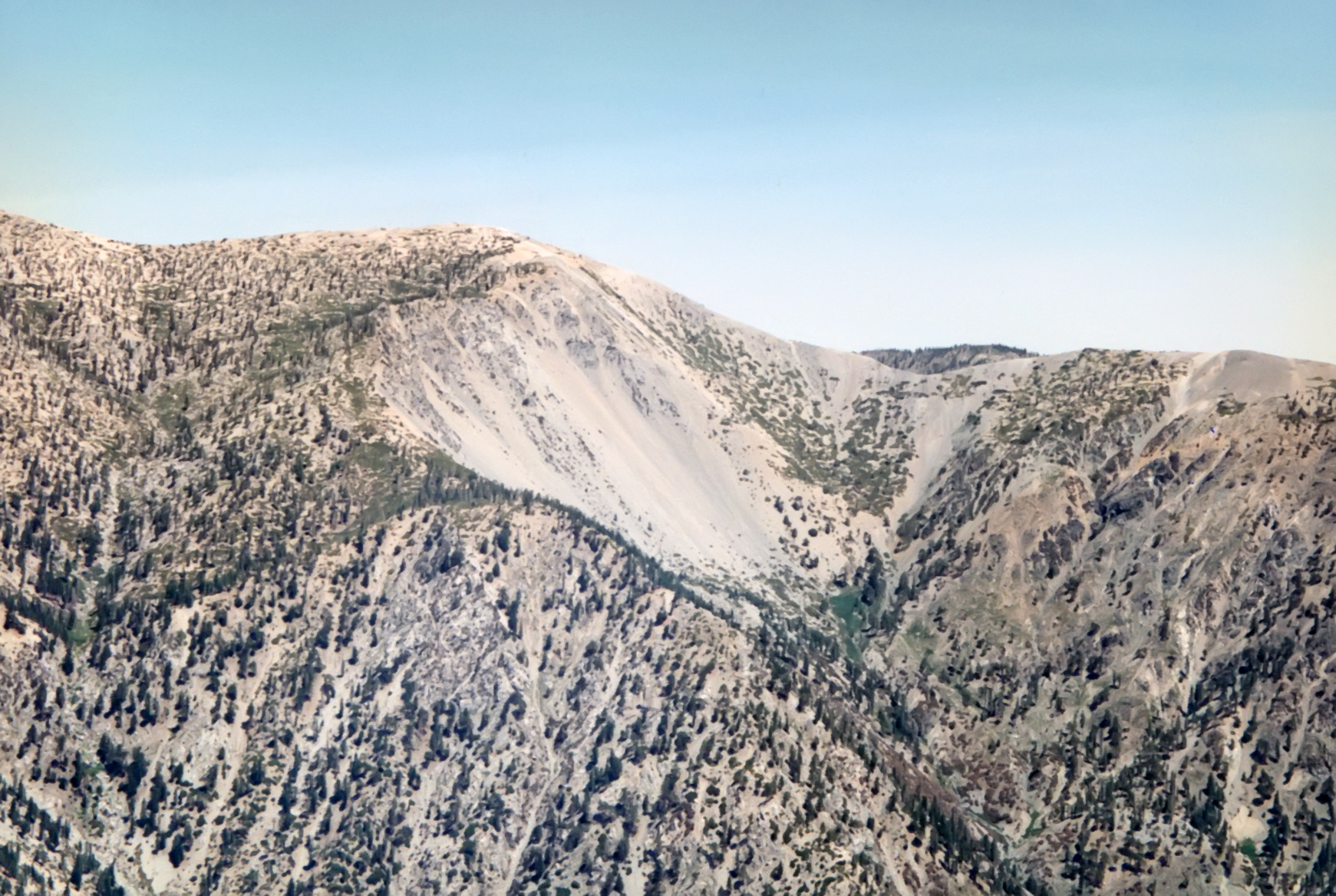
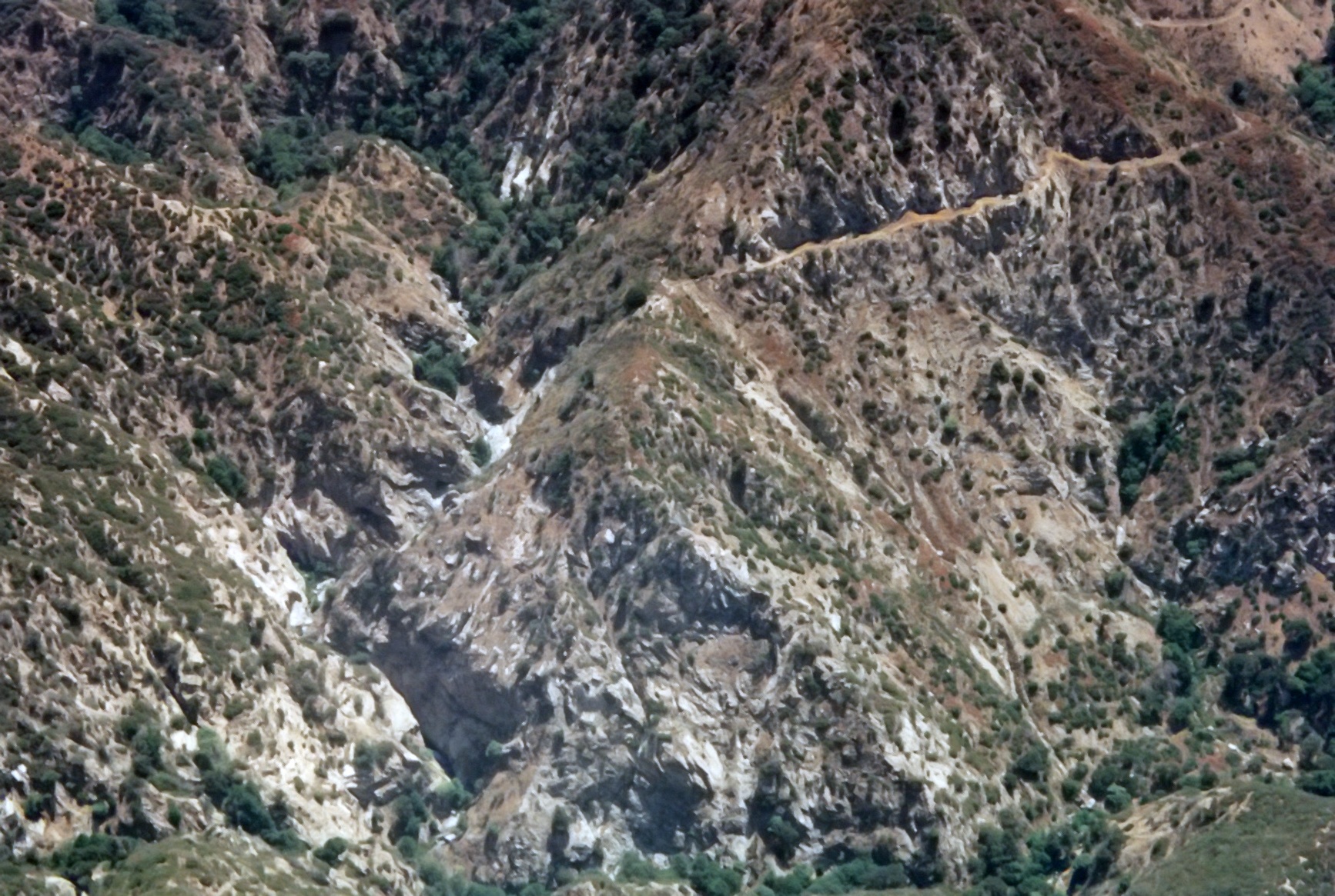
|---|
| 1996 Photo 13. Center: the Great Falls from the east with upper Fox Canyon mid-right and the Maxon ridge in the lower right. |
| The Maxon ridge route in the upper right and the lower Fox Canyon in the lower left. |
|
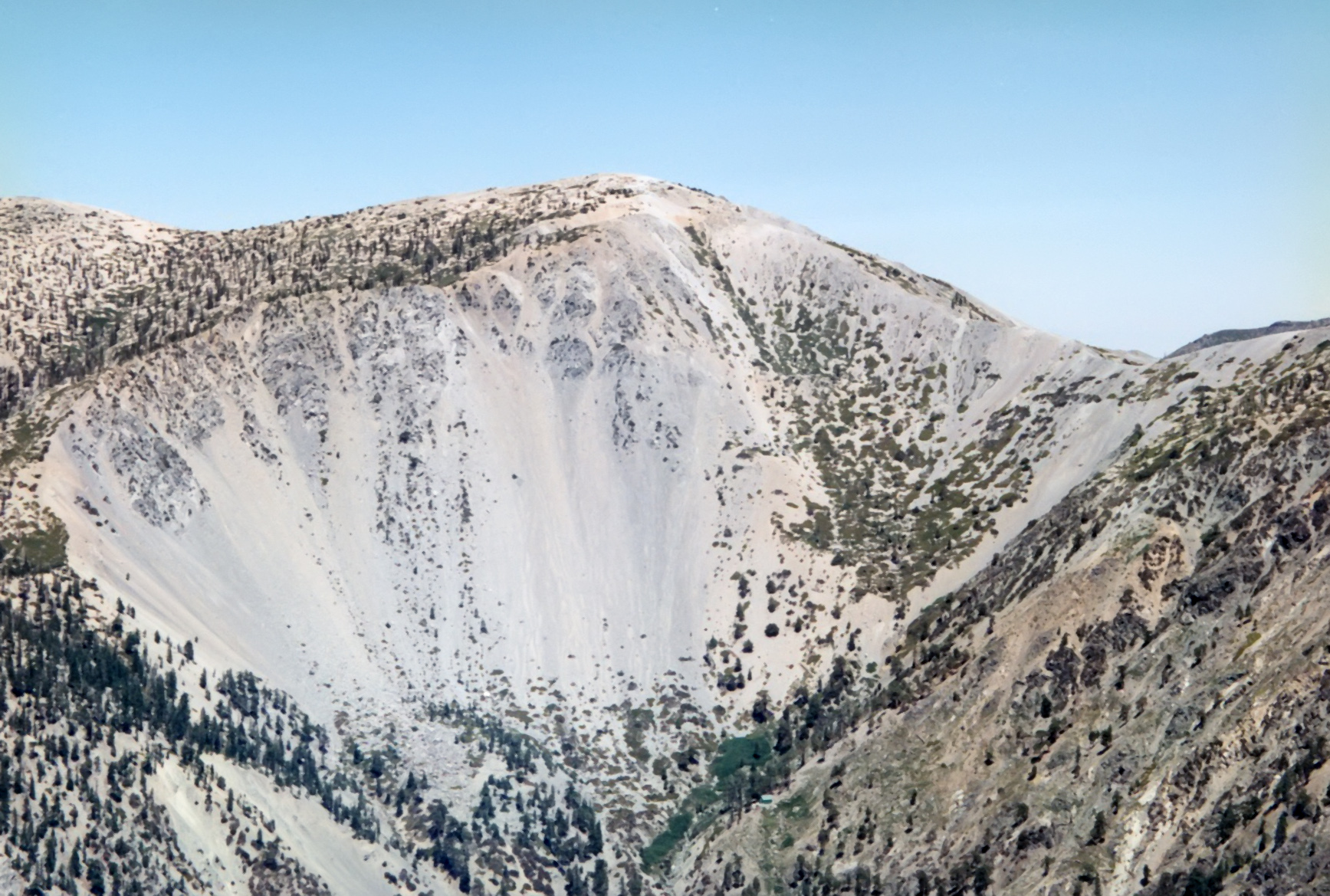
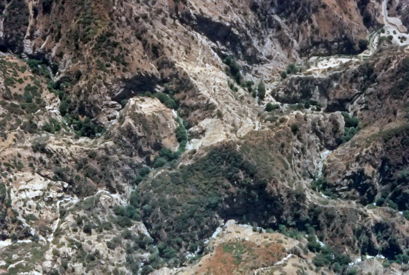
|---|
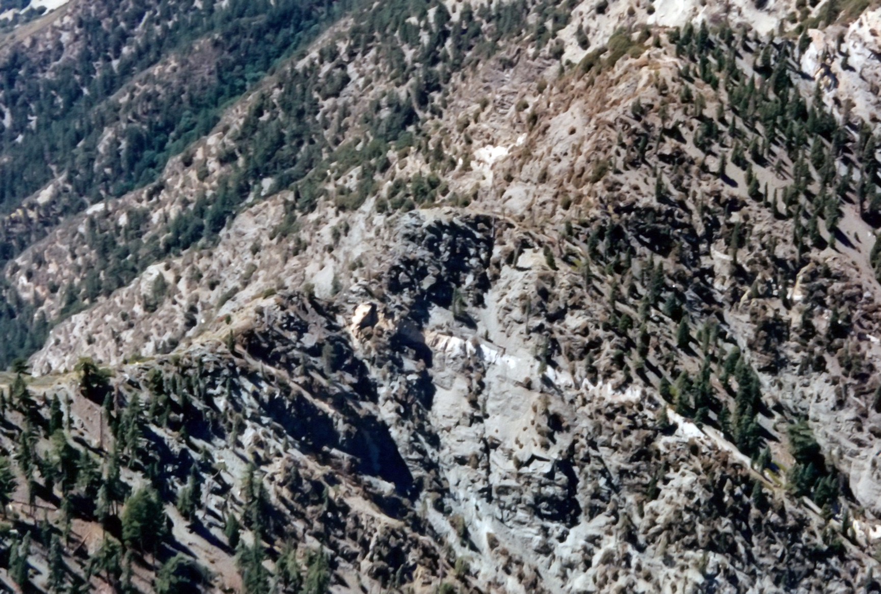
| 1996 Photo 14. Center: the Great Falls from the north with wooded upper Fox Canyon in the lower and center left. |
| The Maxon ridge center left and lower Fox Canyon in the upper left and top. |
|
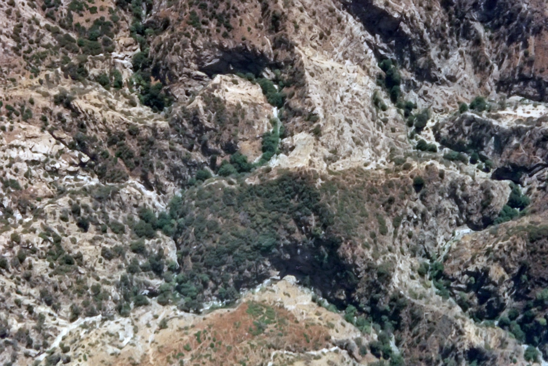
|---|
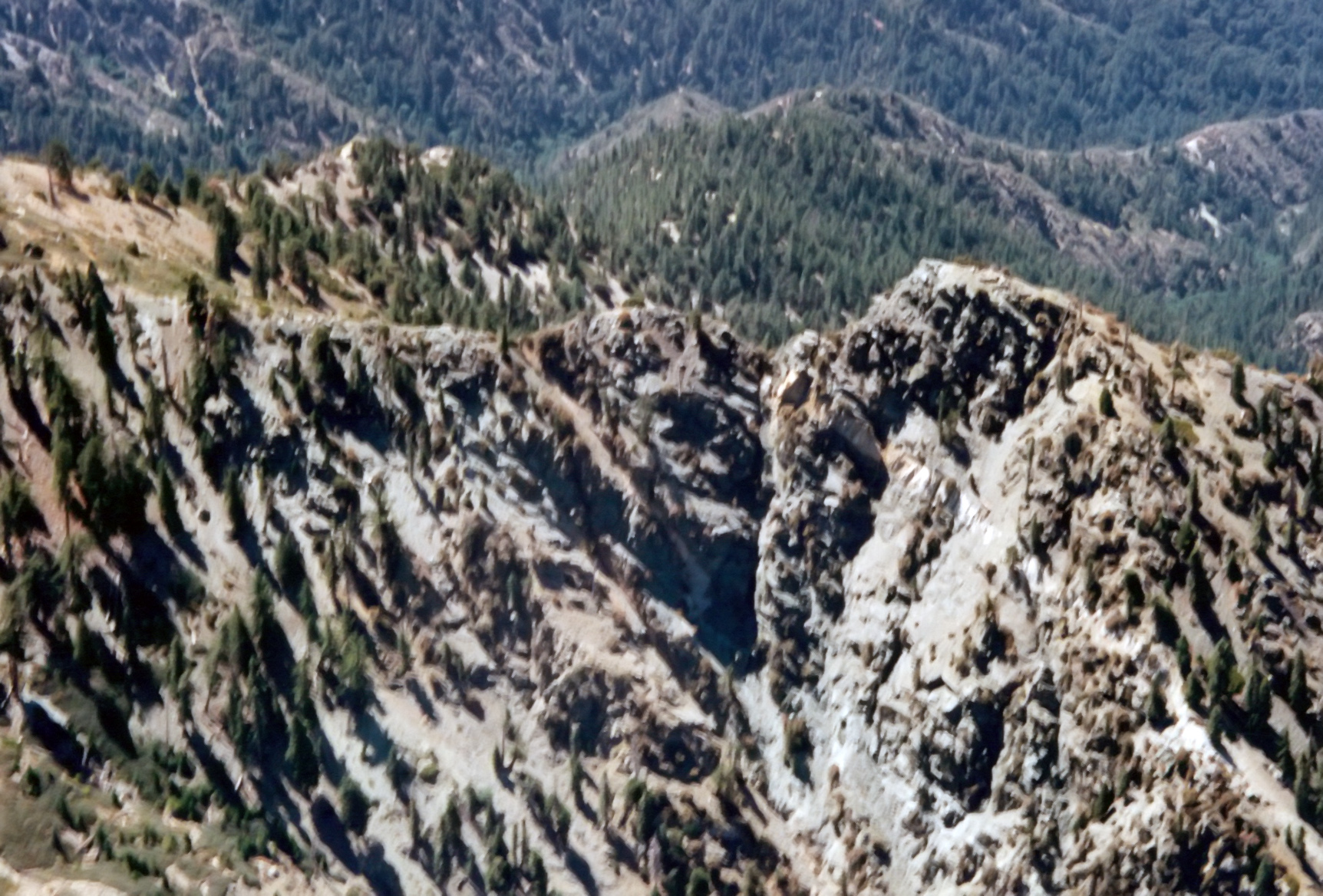
| 1996 Photo 15. Center: the Great Falls from the northwest with wooded upper Fox Canyon in the center left. |
| The Maxon ridge upper center left and the Great Falls in the upper middle. |
|
|---|
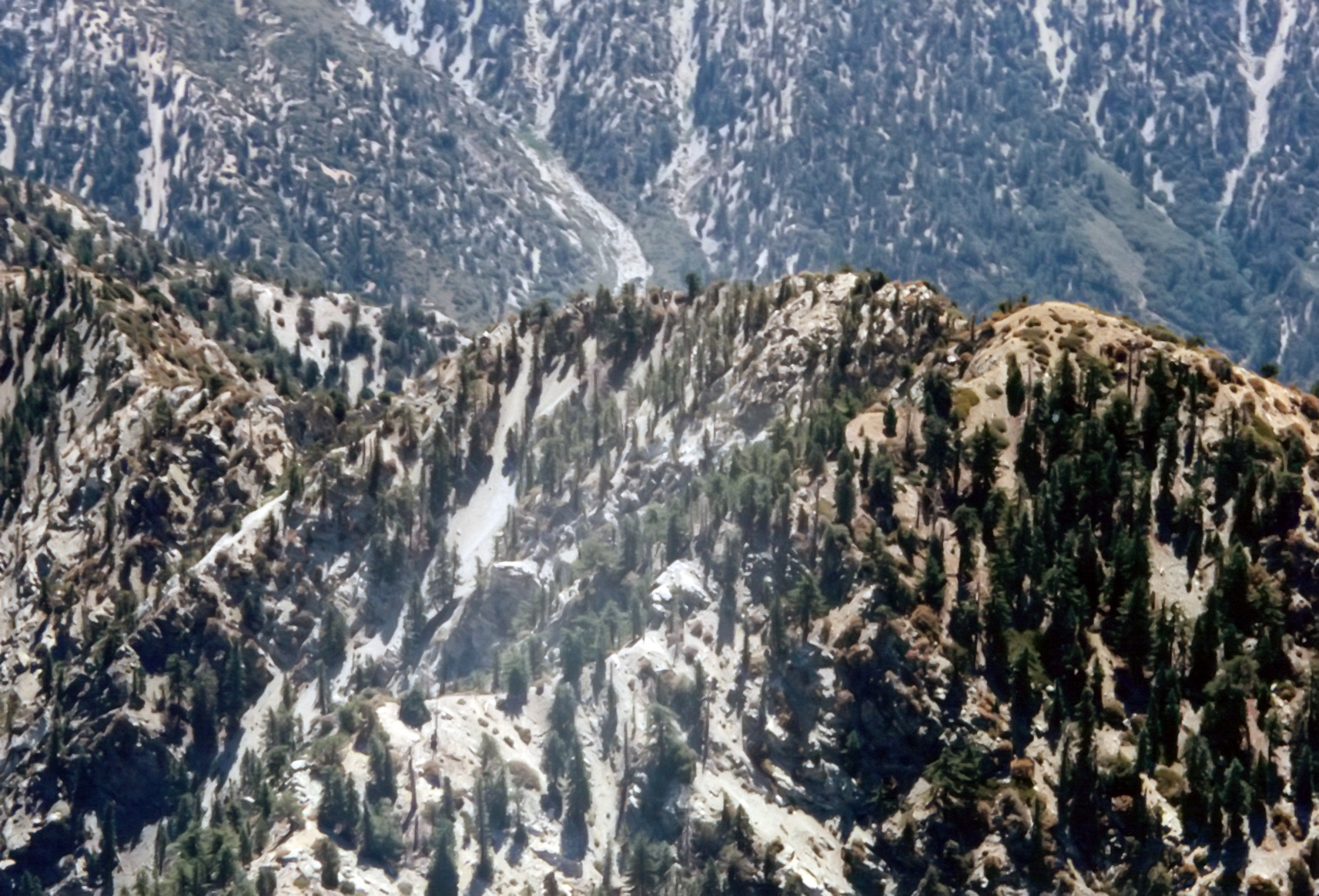
| 1996 Photo 16. Center: the Great Falls from the west with wooded upper Fox Canyon in the center left, the Maxon ridge |
| upper left. The Great Falls in the center and the lower Fox Canyon on the upper right. |
|
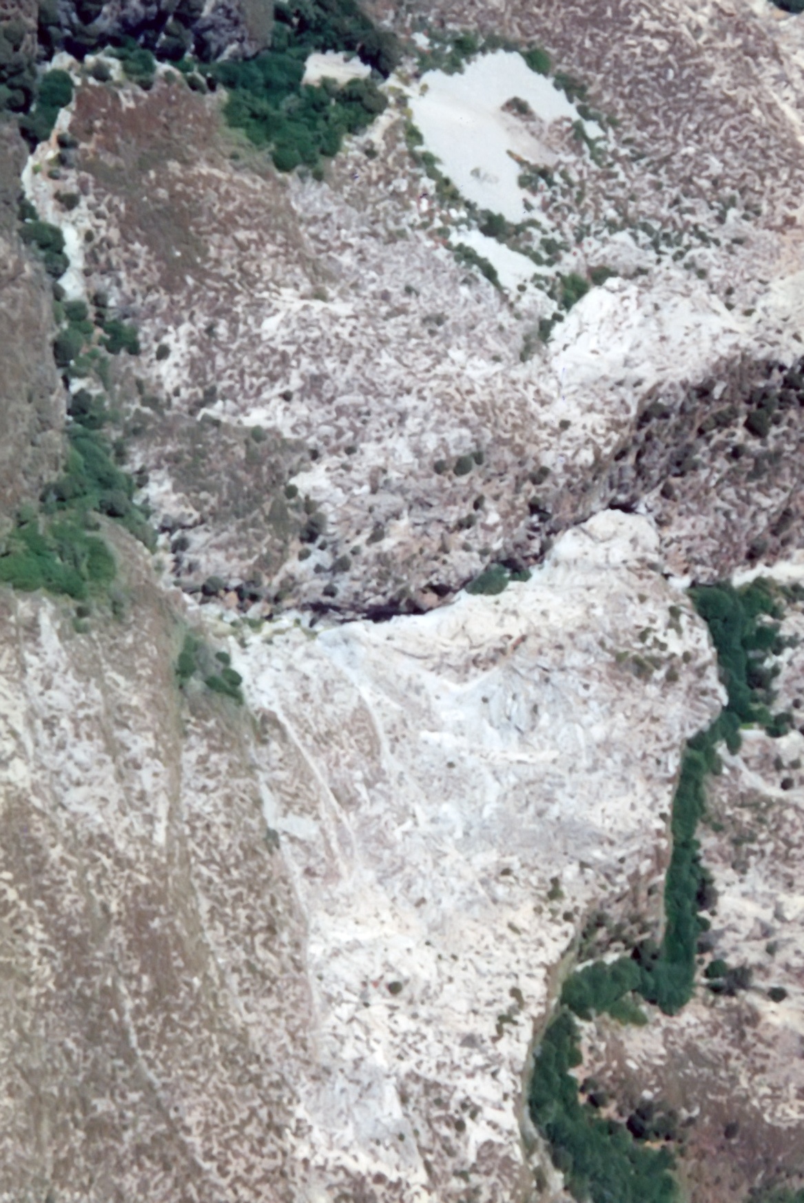
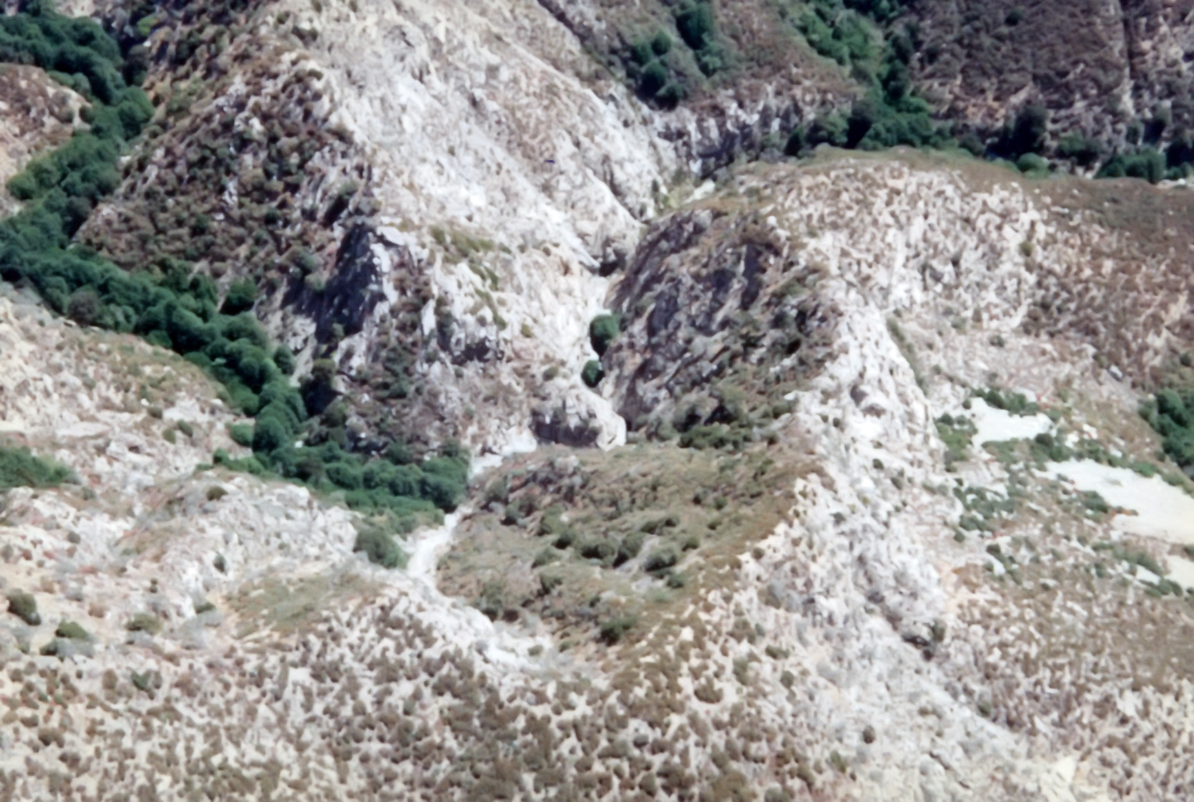
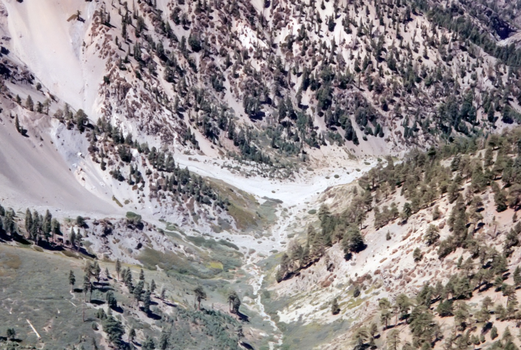
|---|
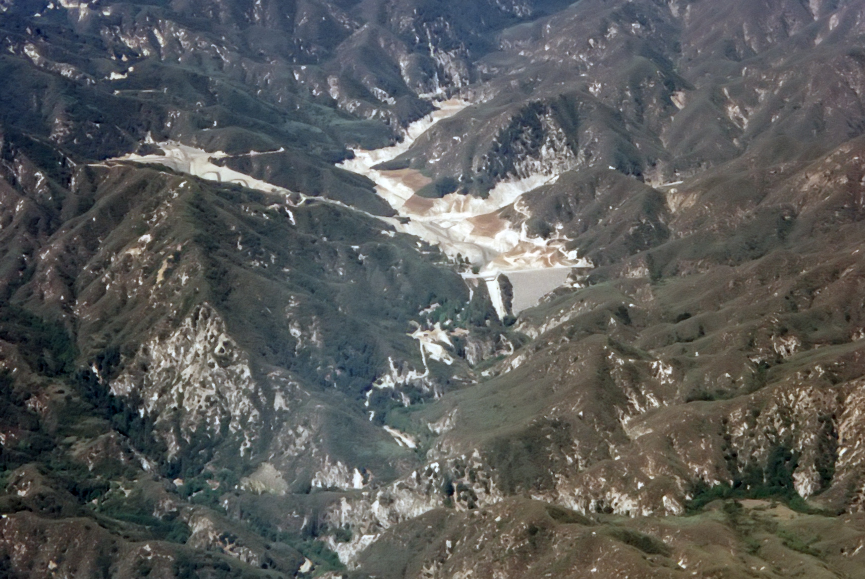
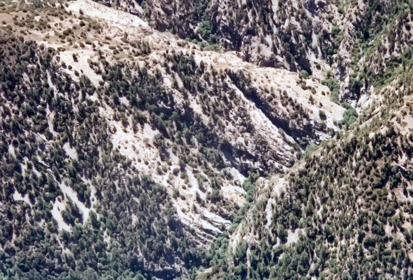
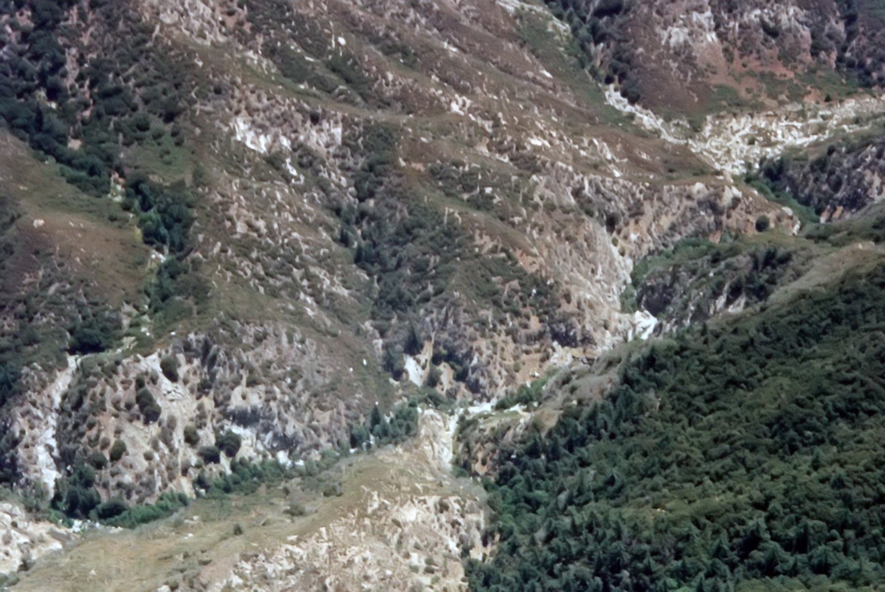
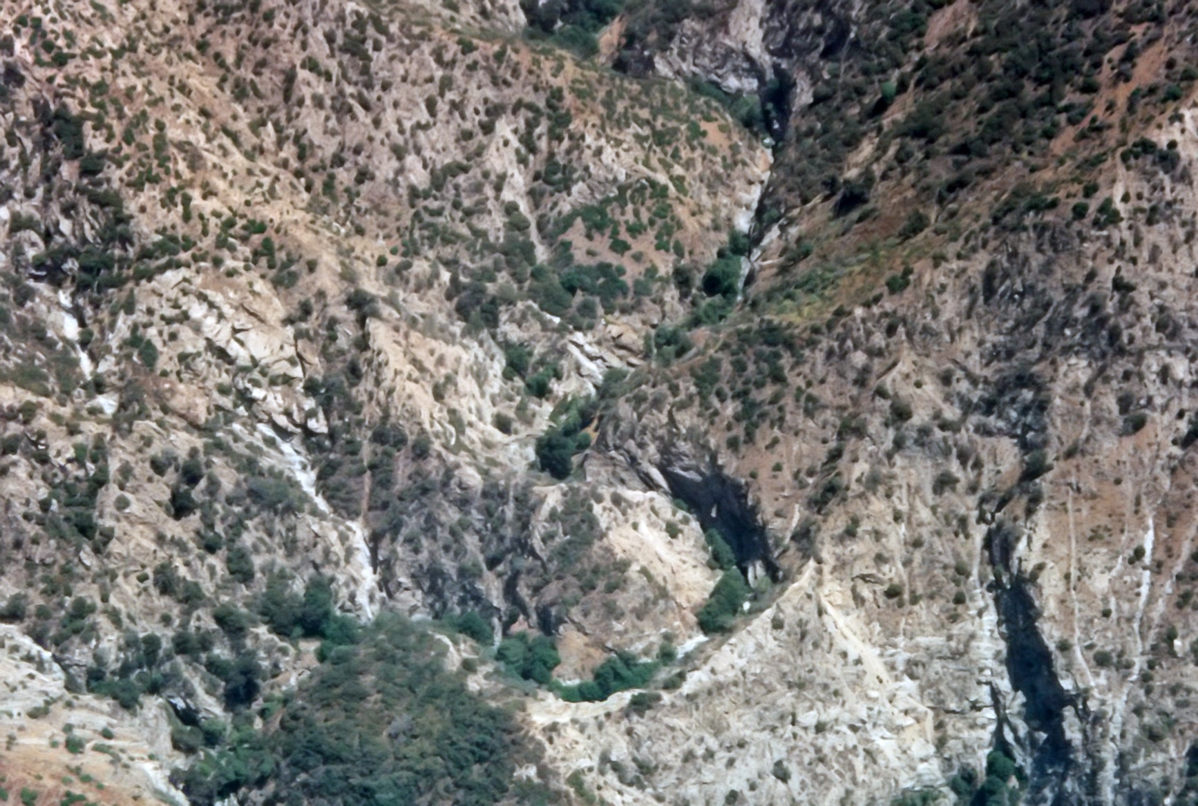
| 1996 Photo 17. Upper Fox Canyon with the start of the Great Falls in the bottom right corner. |
|
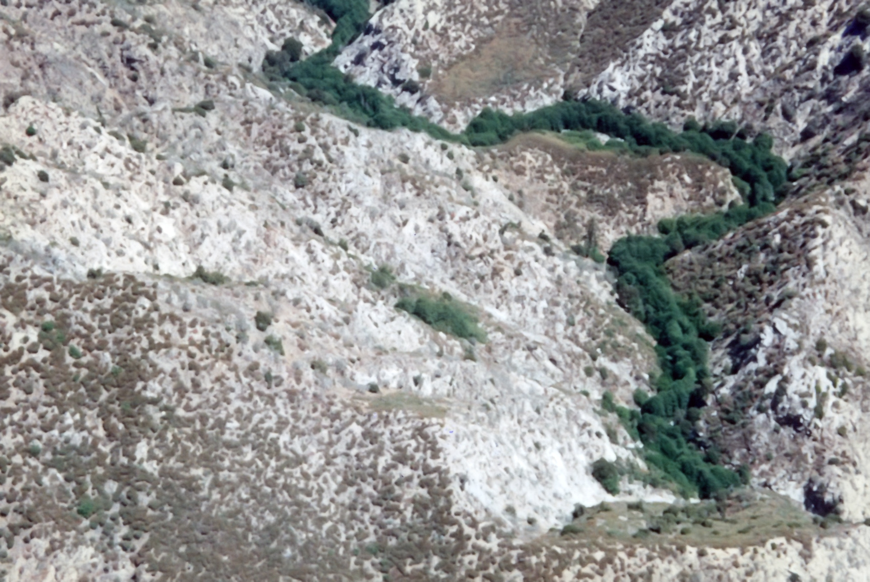
|---|
| 1996 Photo 18. Lower Fox Canyon with the Great Falls in the top left and the scree slope in left center. |
|
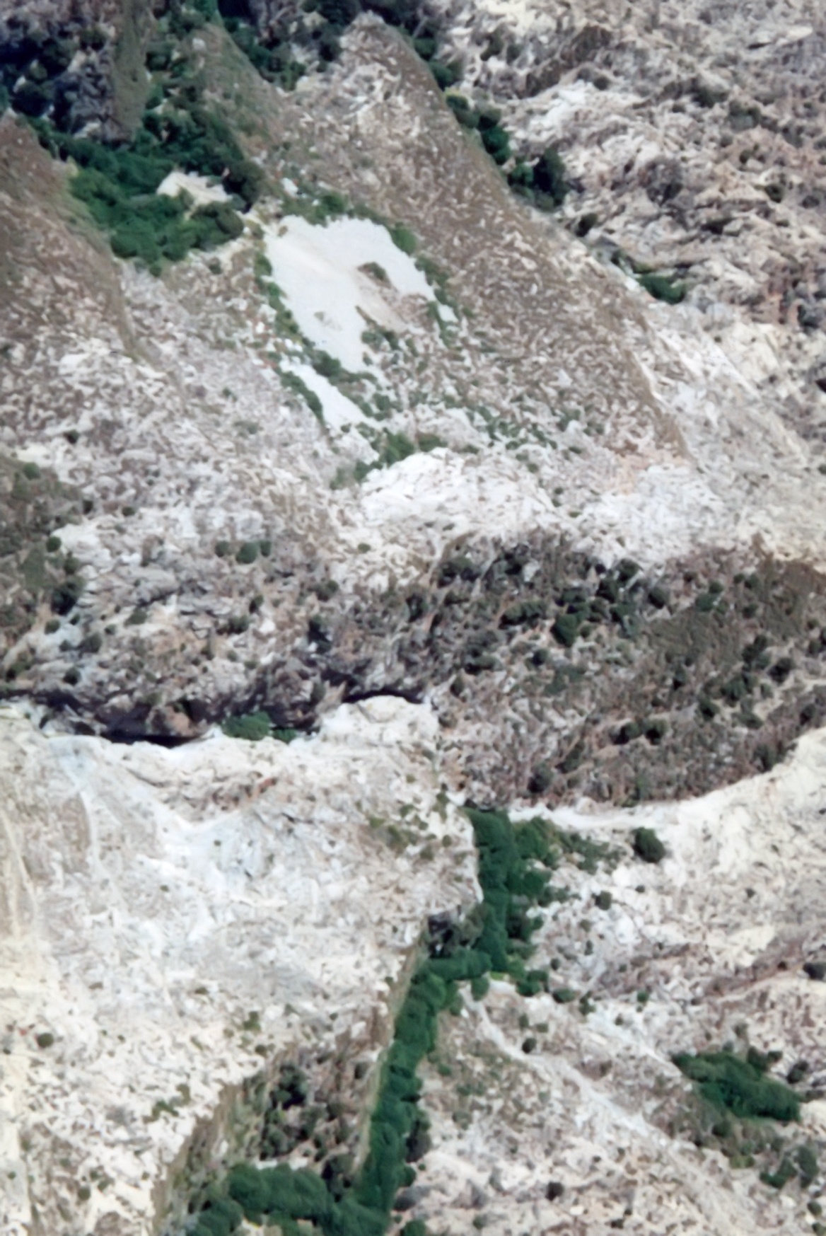
|---|
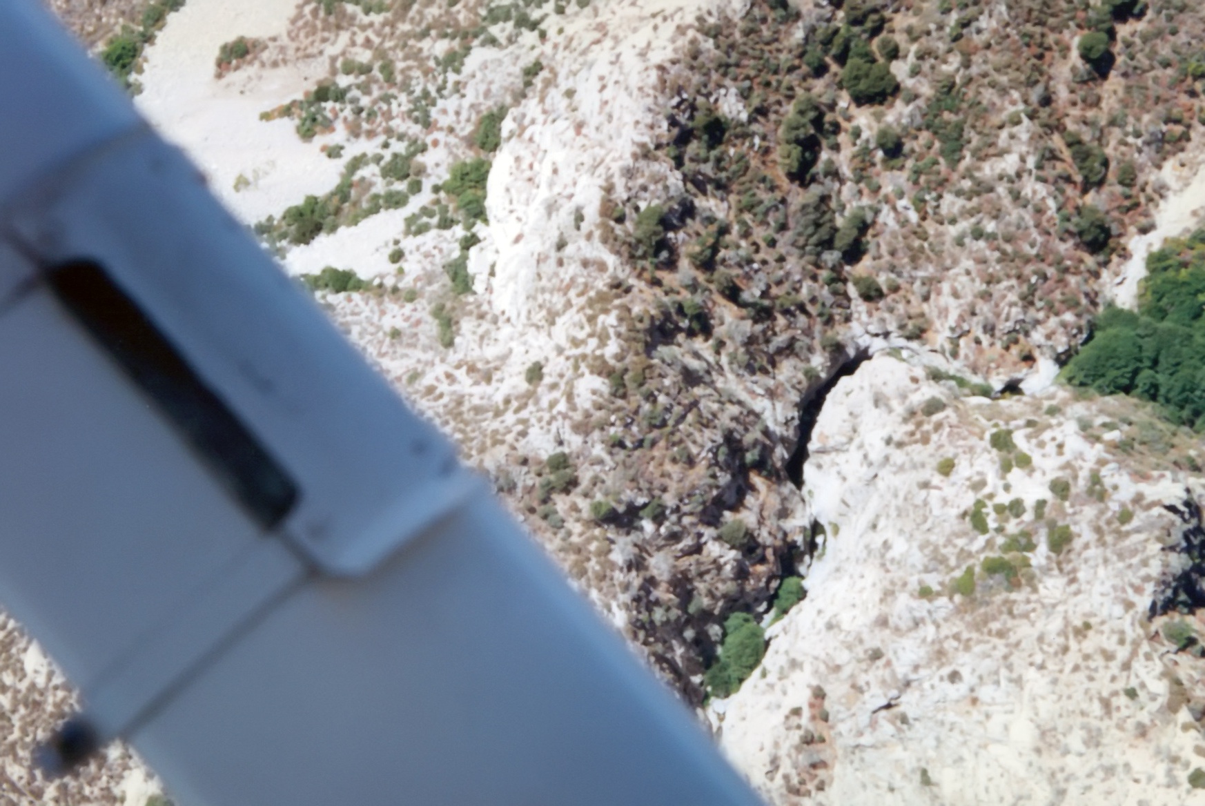
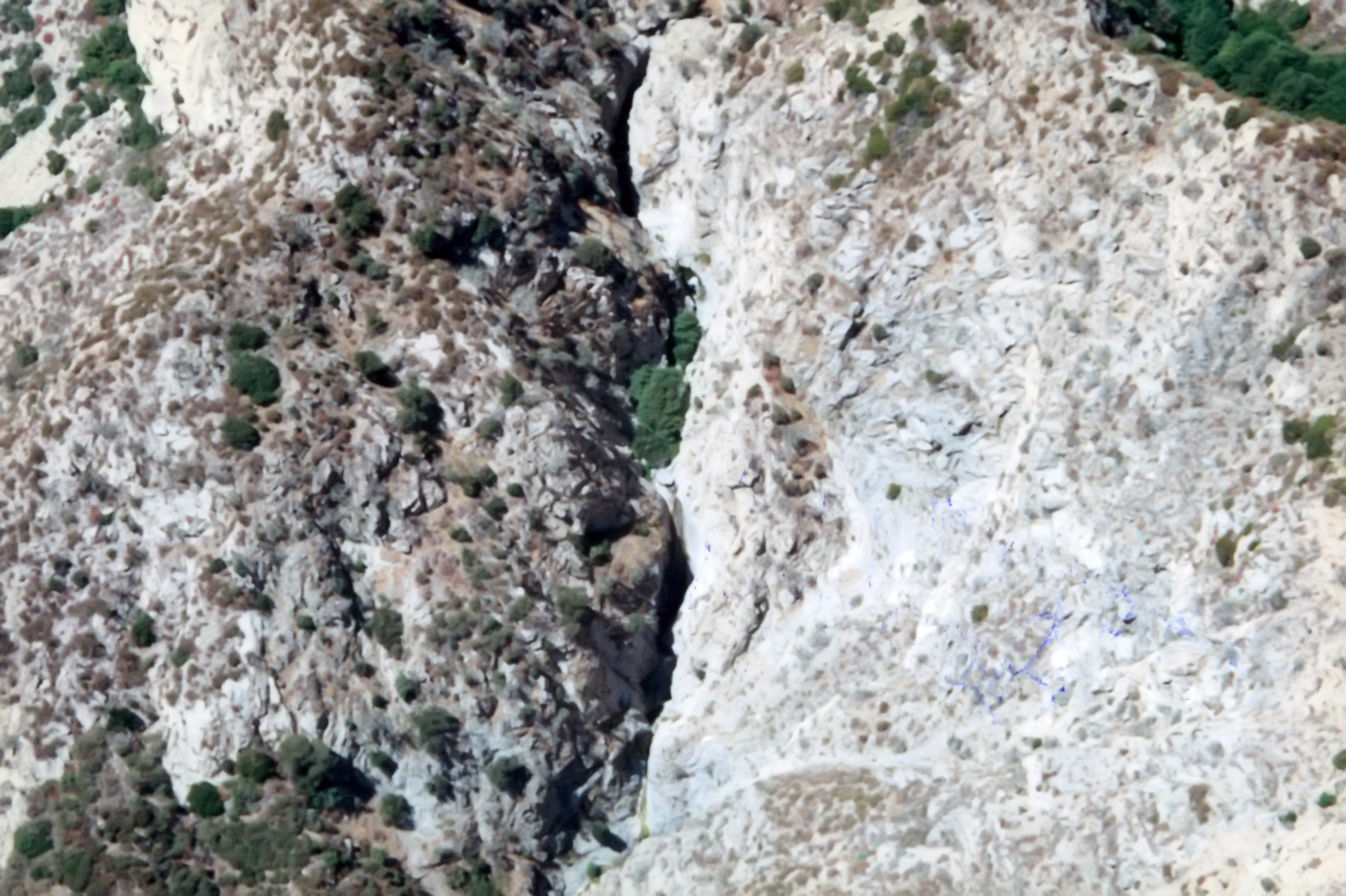
| 1996 Photo 21. The Great Falls just right of the aircraft strut. |
|
|---|
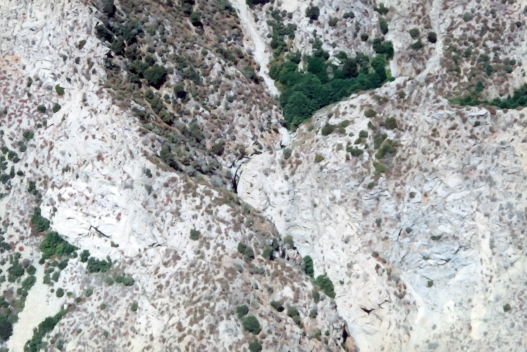
| 1996 Photo 23. Wooded upper Fox Canyon on the left and the Great Falls running from the lower center to the upper right. |
|
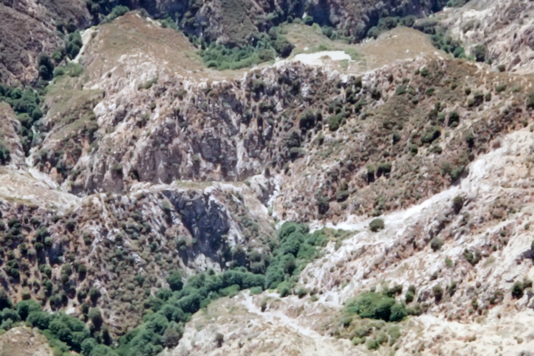
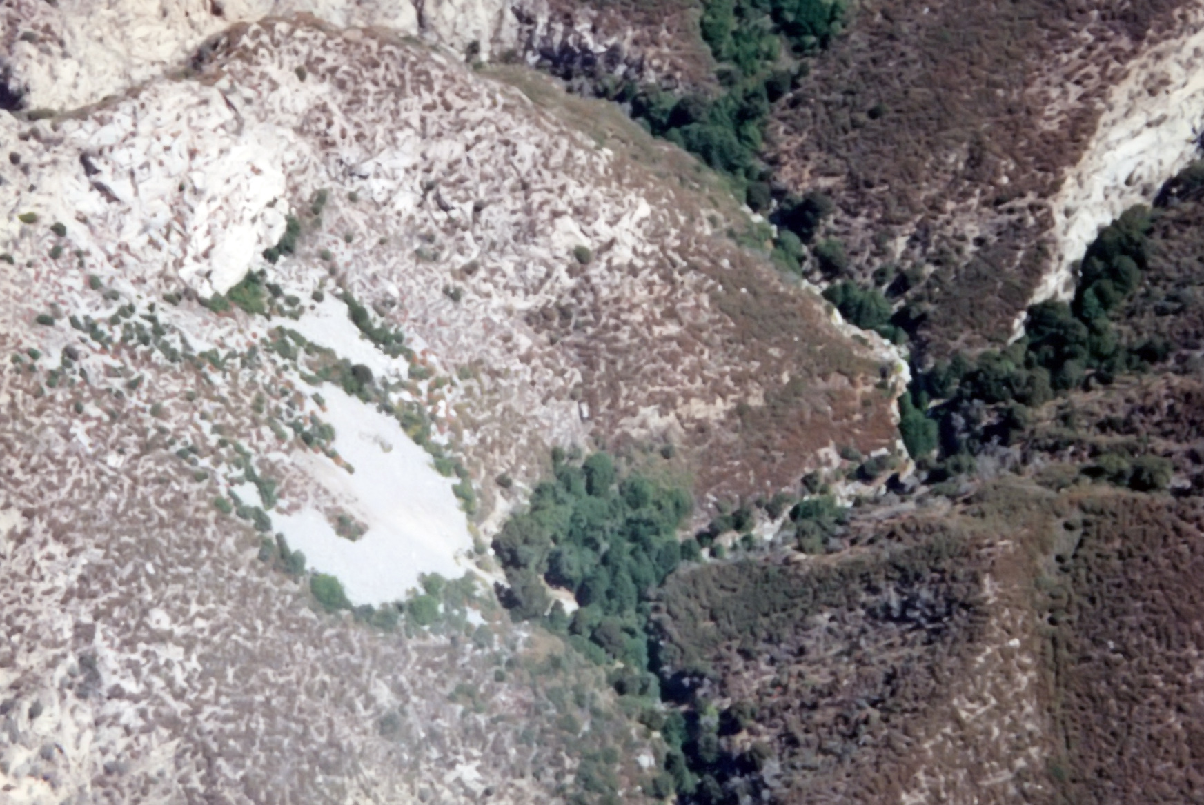
|---|
| 1996 Photo 24. Center: the Great Falls from the west with the wooded upper Fox Canyon in the upper right. |
| The Maxon ridge on the right and the scree slope on the left. |
|
|---|
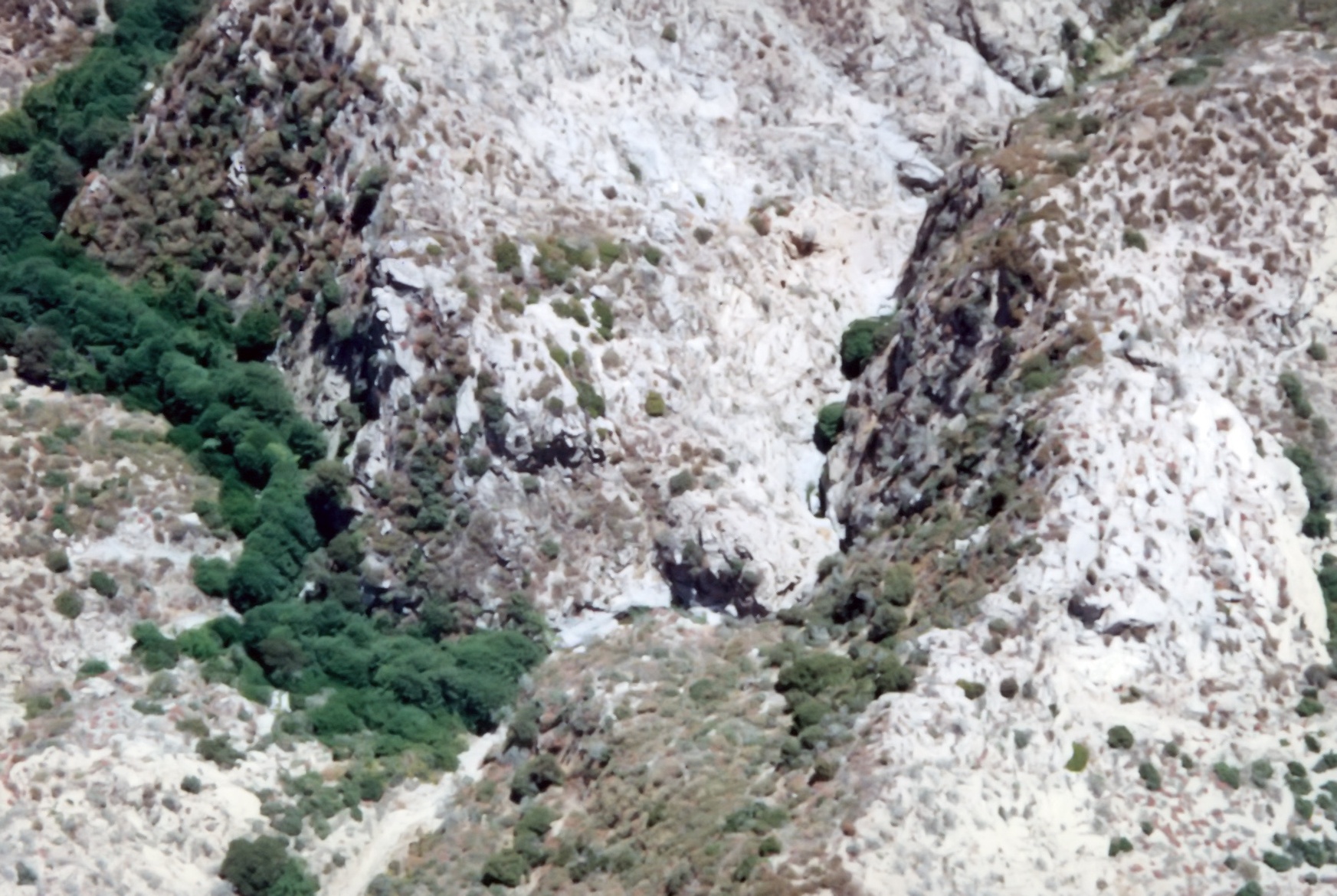
| 1996 Photo 25. The Great Falls from the west in the lower center with the wooded upper Fox Canyon in the upper right. |
|
|---|
| 1996 Photo 26. The Great Falls from the west in the lower center with the wooded upper Fox Canyon in the upper right. |
|
|---|
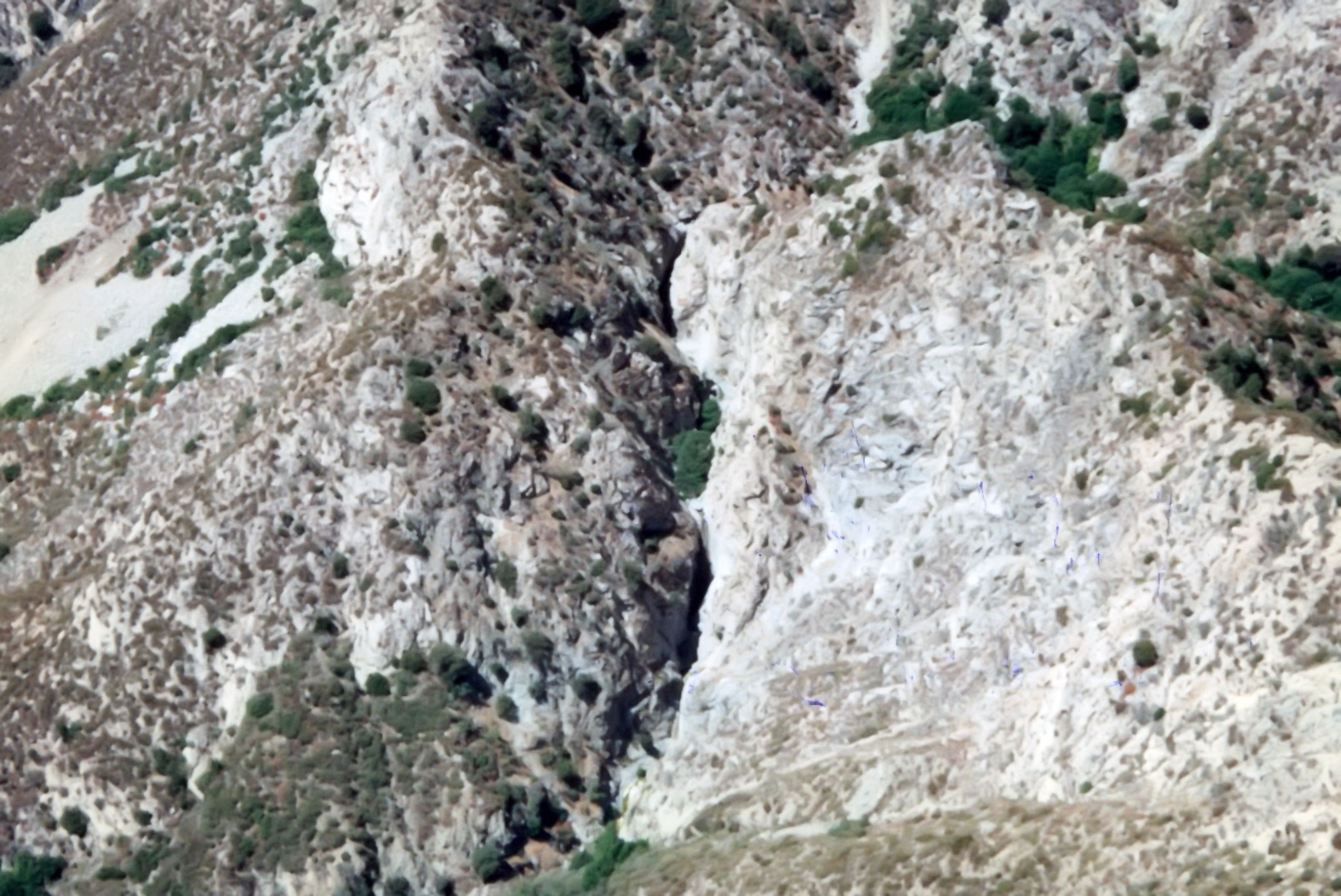
| 1996 Photo 27. The Great Falls (center, top to bottom) from the west with the wooded upper Fox Canyon in the upper right. |
|
|---|
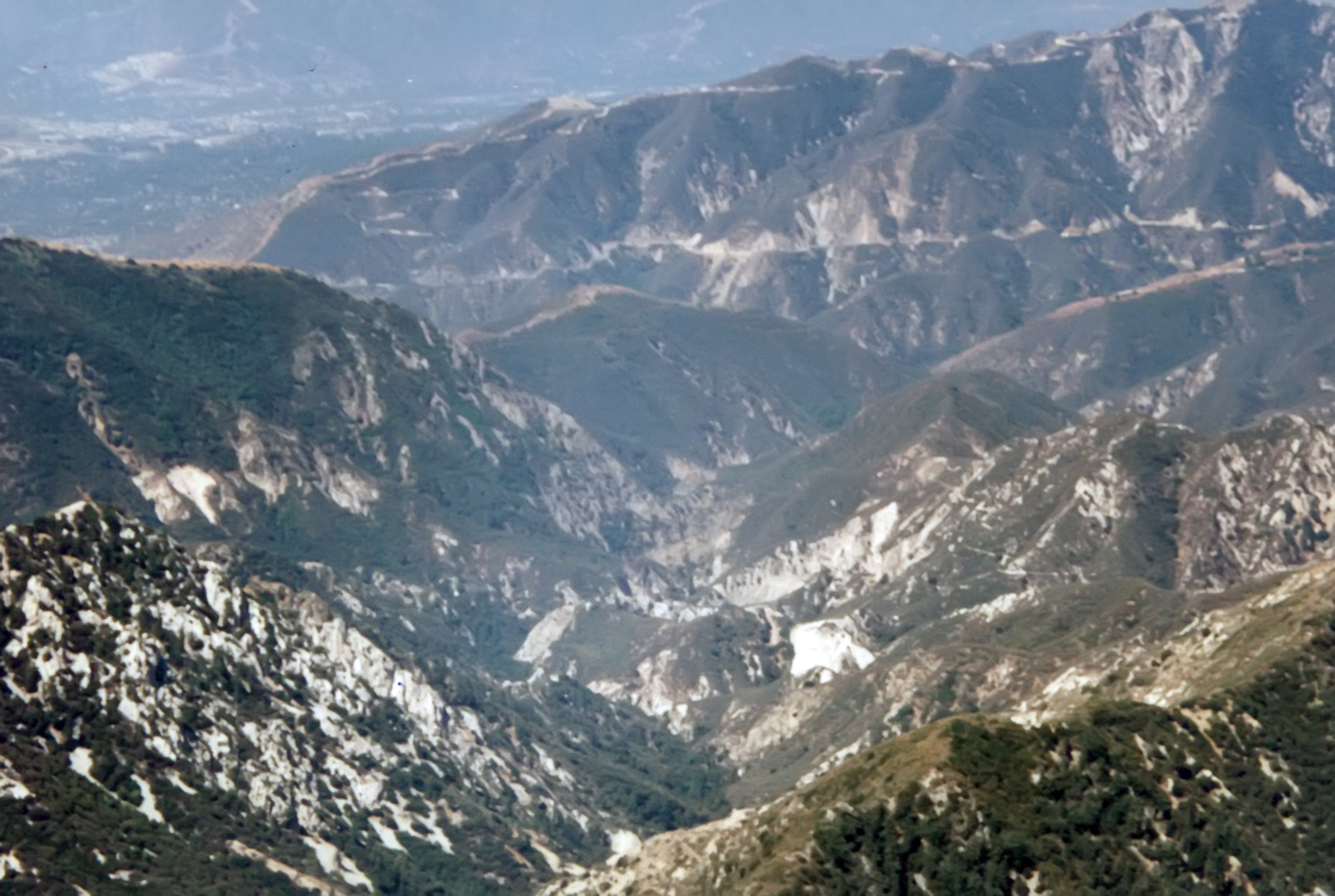
| 1996 Photo 28. Big Tujunga Canyon from the west. The dirt road from the Angeles Forest Highway descends |
| from the lower right, crosses the creek and climbs toward Mount Gleason. Note the old campground in the upper left. |
|
|---|
| 1996 Photo 29. Big Tujunga Canyon looking north with the Angeles Crest Highway in the far distance. |
|
|---|
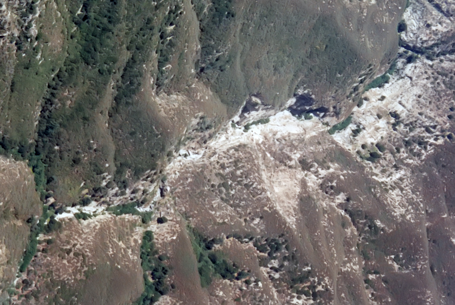
| 1996 Photo 31. The closed road (Highway 39) on the east side of Bear Creek with the scree slope drop-in in the center. |
|
|---|
| 1996 Photo 35. Looking up the East Fork of the San Gabriel River from the south. Note the trail just south |
| of the Bridge to Nowhere in the lower right. |
|
|---|
| 1996 Photo 36. Looking up the East Fork of the San Gabriel River from the south. |
| Note the trail just south of the Bridge to Nowhere in the lower right. |
|
|---|
| 1996 Photo 37. San Antonio Ridge from the south with Gunsight Notch in the center. |
|
|---|
| 1996 Photo 38. San Antonio Ridge from the east with Gunsight Notch in the center. |
|
|---|
| 1996 Photo 39. San Antonio Ridge from the northeast with Gunsight Notch in the center-left of the photo. |
|
|---|
| 1996 Photo 40. San Antonio Ridge from the north with Gunsight Notch in the center. |
|
|---|
| 1996 Photo 41. San Antonio Ridge from the northwest with Gunsight Notch in the center-left. |
| Iron Mountain on the center-right. |
|
|---|
| 1996 Photo 42. Mount Baldy from the southwest. |
|
|---|
| 1996 Photo 43. Mount Baldy on the left, Baldy Bowl in the center and the Devil's Backbone on the right. |
|
|---|
| 1996 Photo 44. Baldy Bowl. |
|
|---|
| 1996 Photo 45. The canyon north of the Devil's Backbone. |
|
|---|
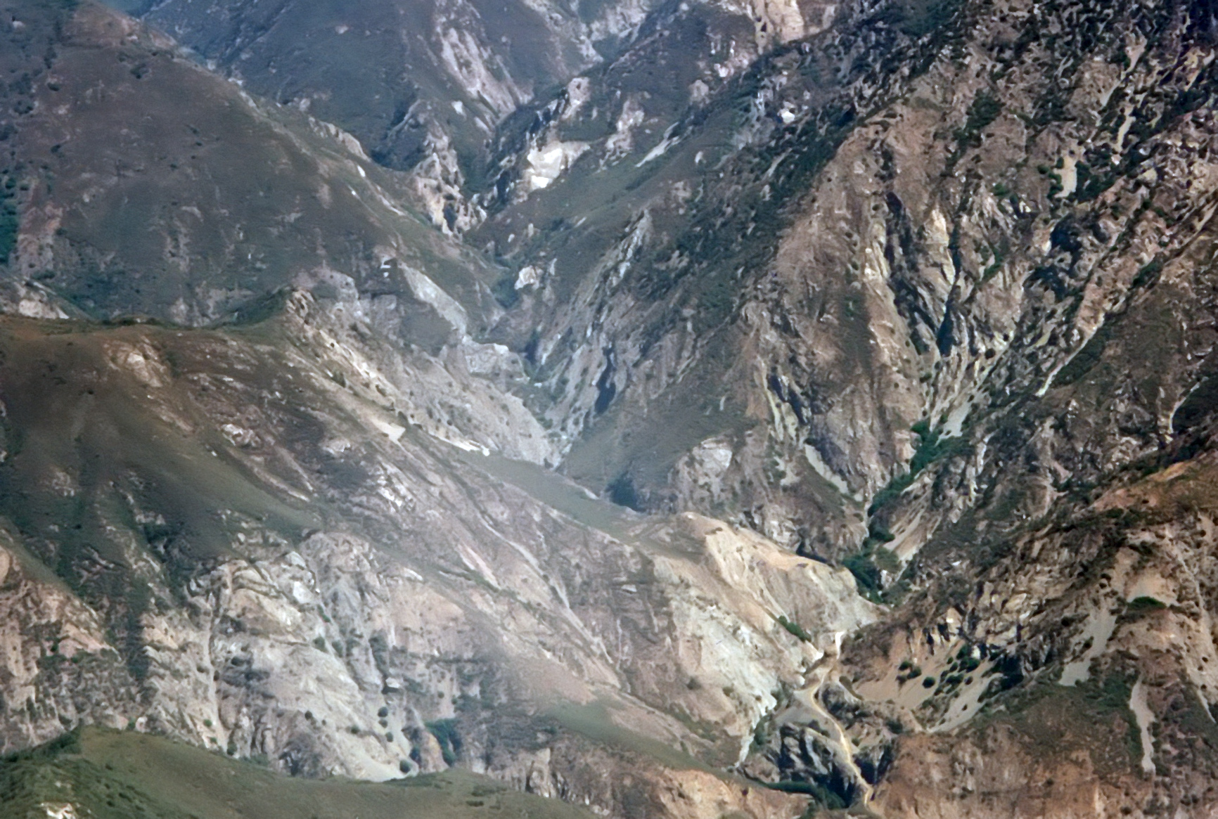
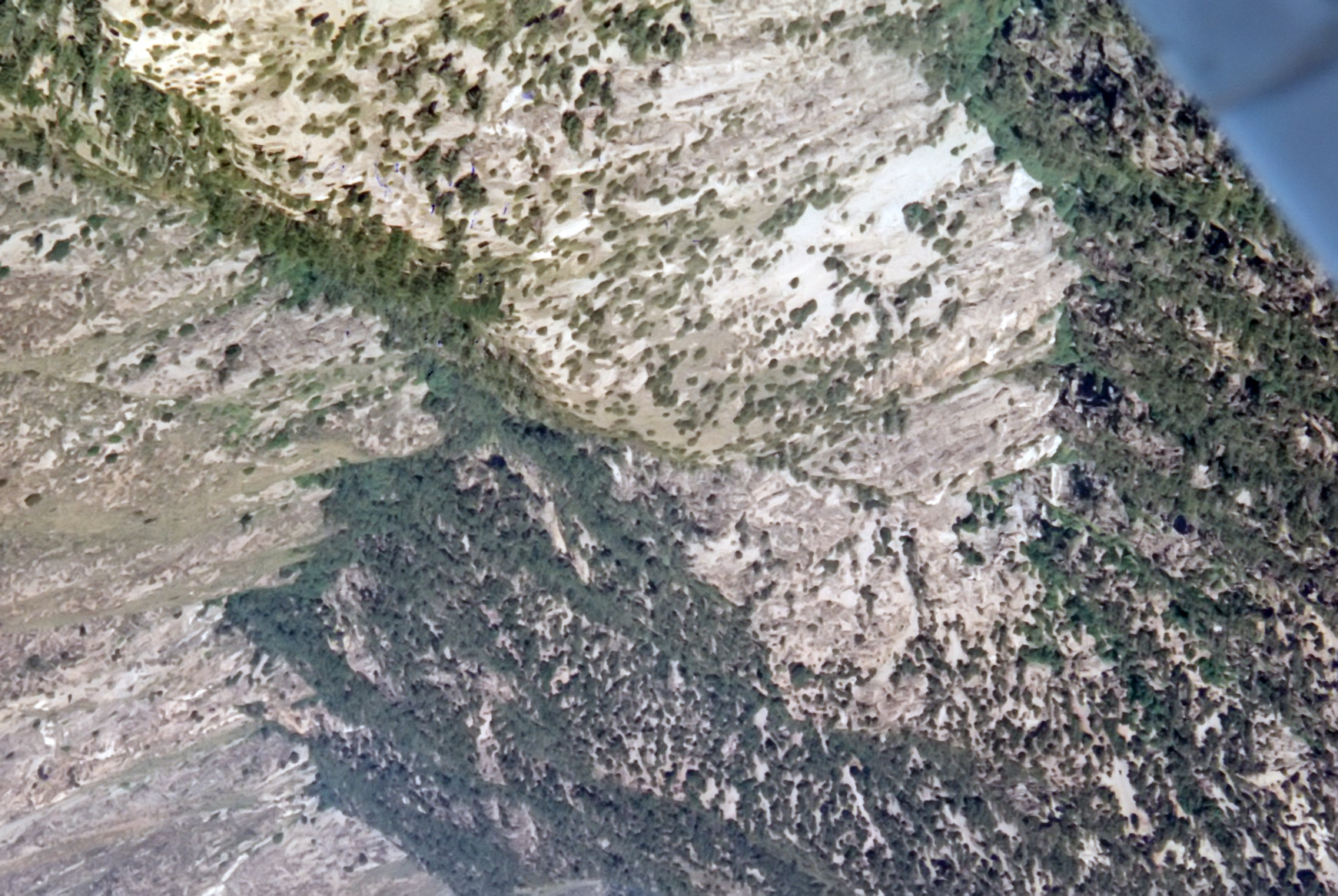
| 1996 Photo 46. Looking west into Upper Fish Fork with Pine Mountain Ridge on the right. |
|
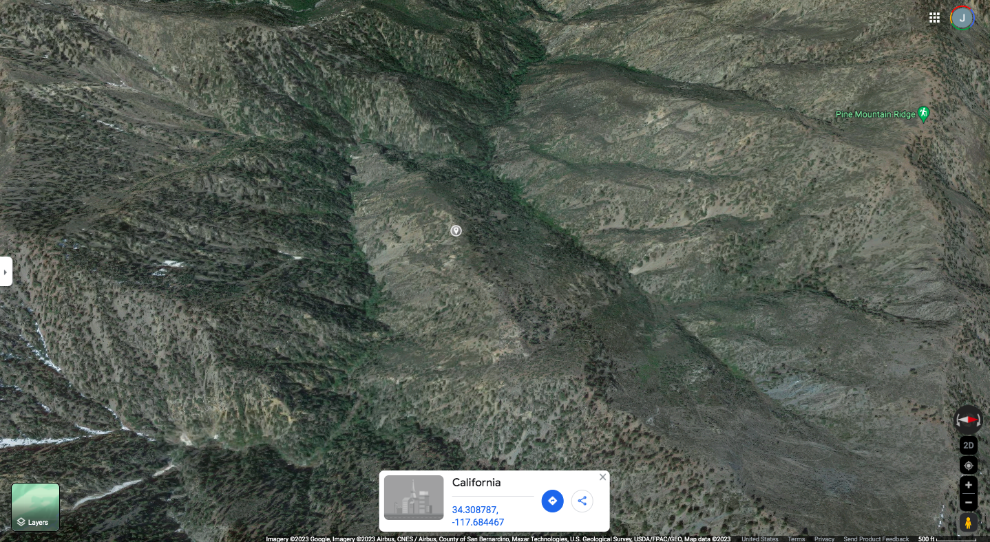
|---|
| 2023 Photo 46. Looking west into Upper Fish Fork with Pine Mountain Ridge on the right.. |
| Center about 34.308787oN -117.684467oW. |
|
|---|
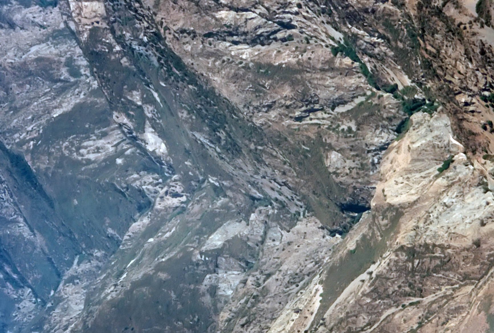
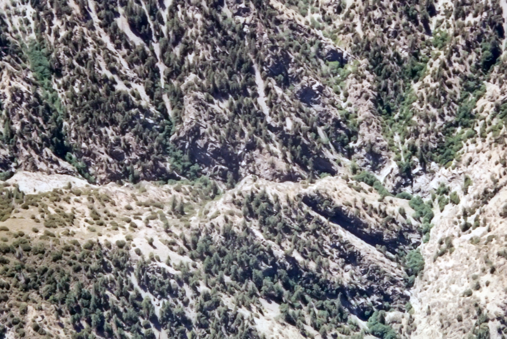
| 1996 Photo 47. Looking south down middle Fish Fork to where it turns east at top. |
|
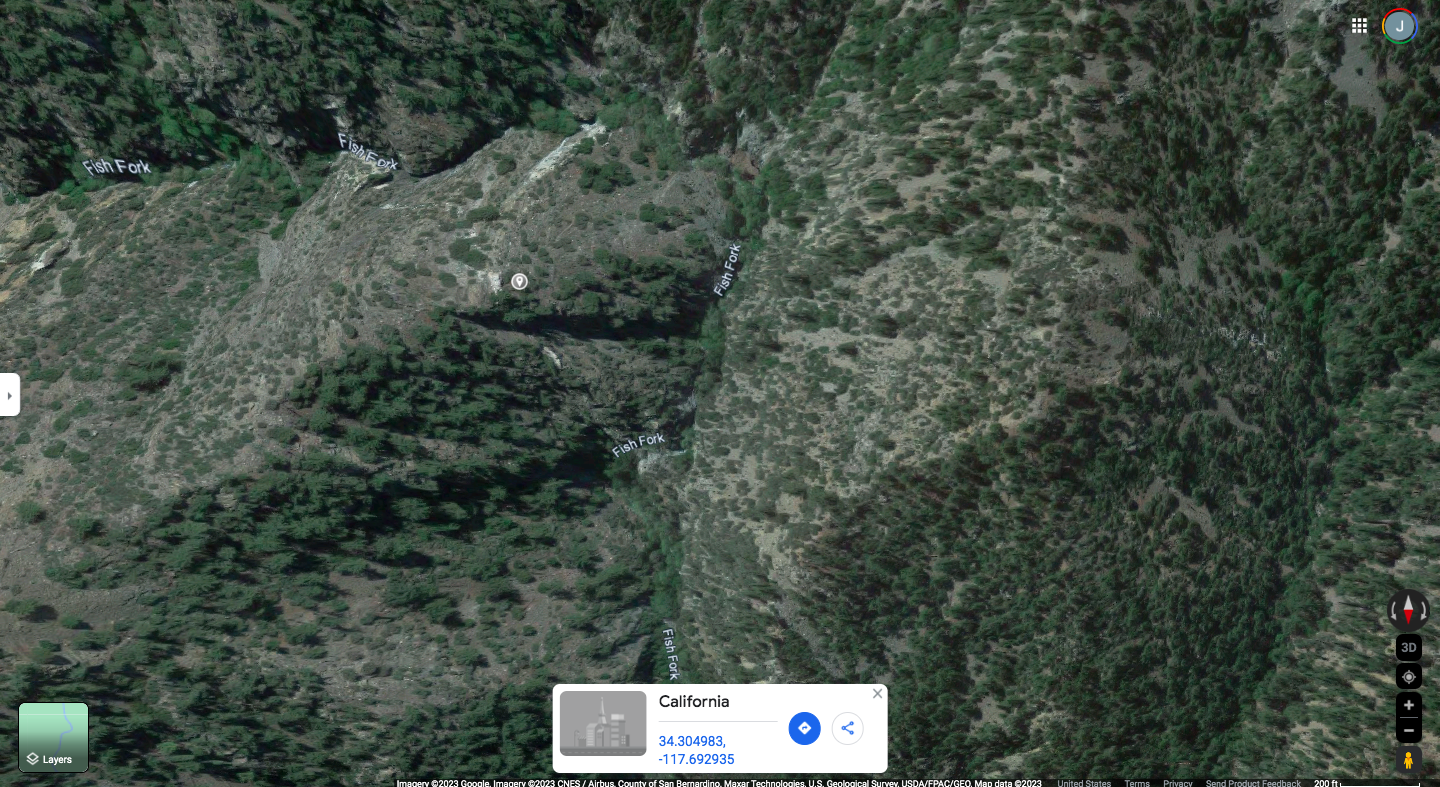
|---|
| 2023 Photo 47. Looking south down middle Fish Fork to where it turns east at top. |
| Center about 34.304983oN -117.692935oW. |
|
|---|
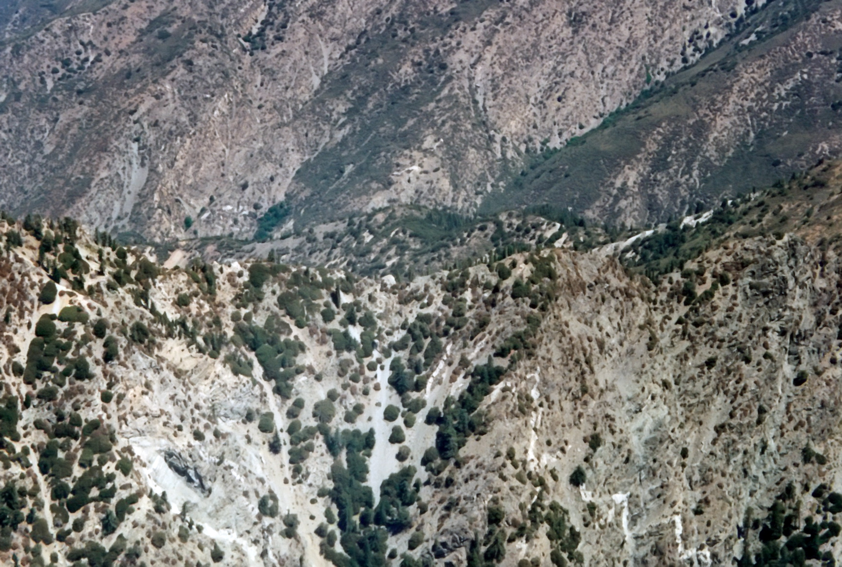
| 1996 Photo 48. Similar to photo 47. |
|
|---|
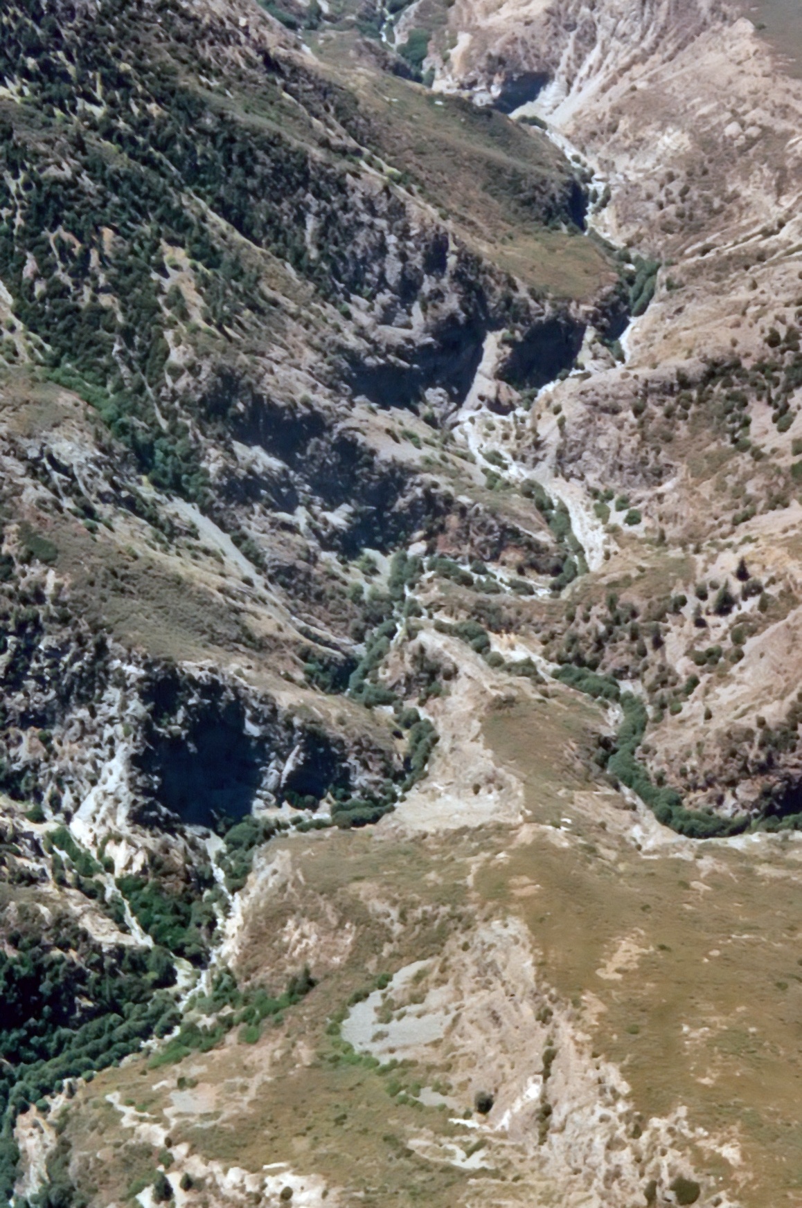
| 1996 Photo 49. Looking south down the East Fork of San Gabriel River. |
| Junction with Falls Gulch at top center. |
|
|---|
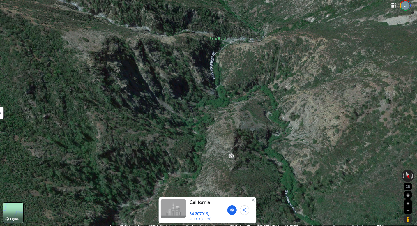
| 2023 Photo 49. Looking south down the East Fork of San Gabriel River. |
| Junction with Falls Gulch at top center. Center about 34.307919oN -117.731120oW. |
|
|---|
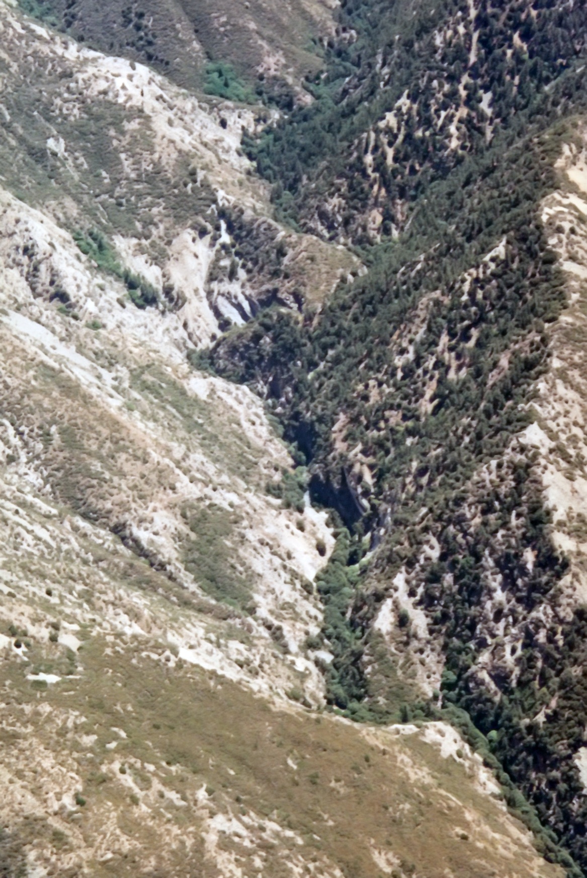
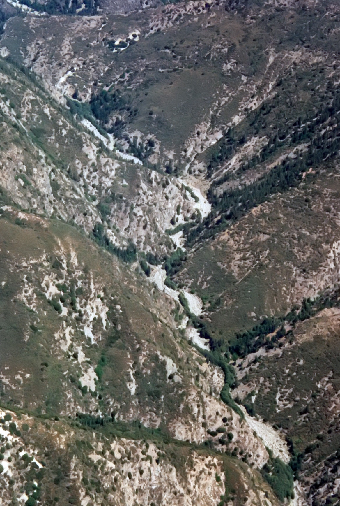
| 1996 Photo 50. Looking east up Allison Gulch from the East Fork of San Gabriel River. |
|
|---|
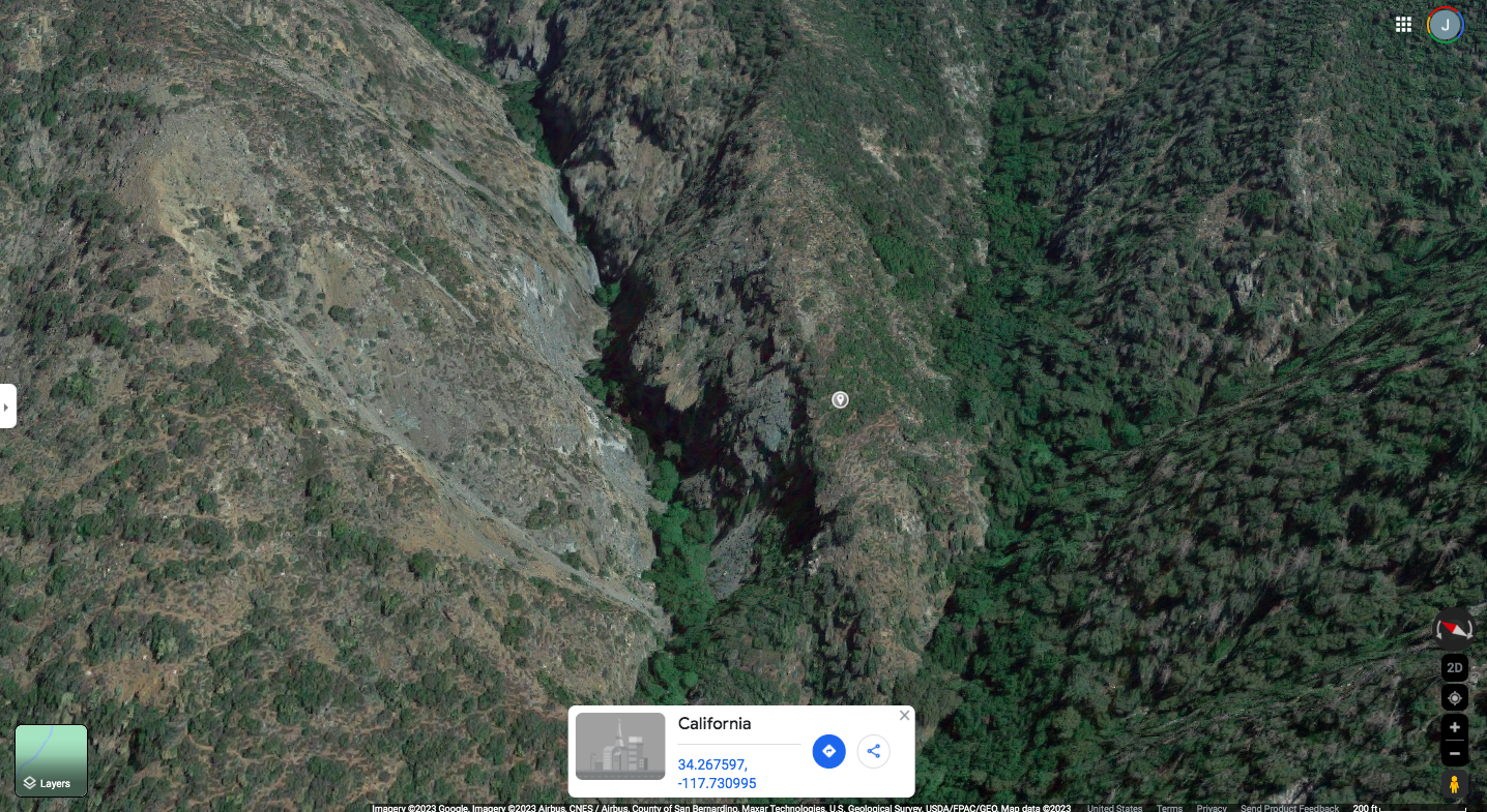
| 2023 Photo 50. Looking east up Allison Gulch from the East Fork of San Gabriel River. |
| Center about 34.267597oN -117.730995oW. |
|
|---|
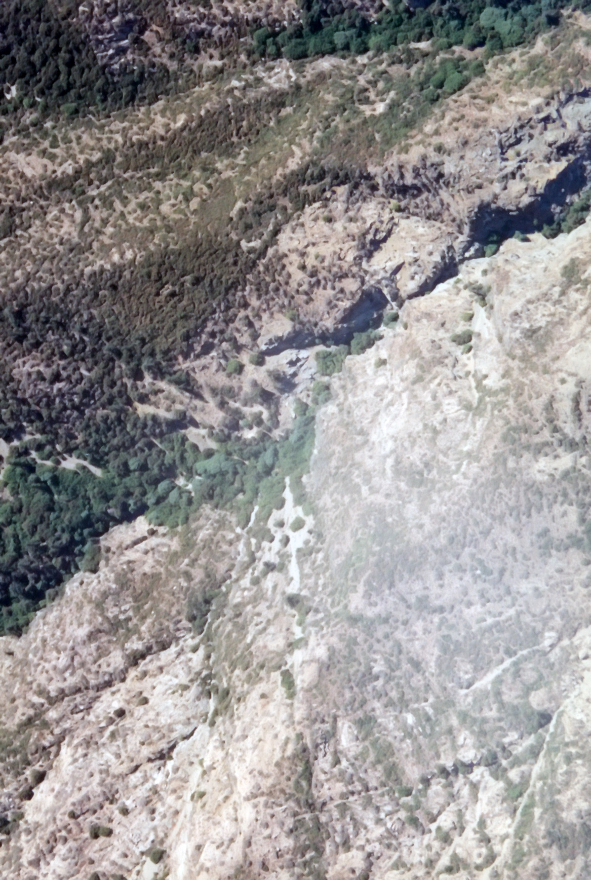
| 1996 Photo 51. Looking west down East Fork of San Gabriel River with Laurel Gulch in the center. |
| The East Fork trailhead in upper center. |
|
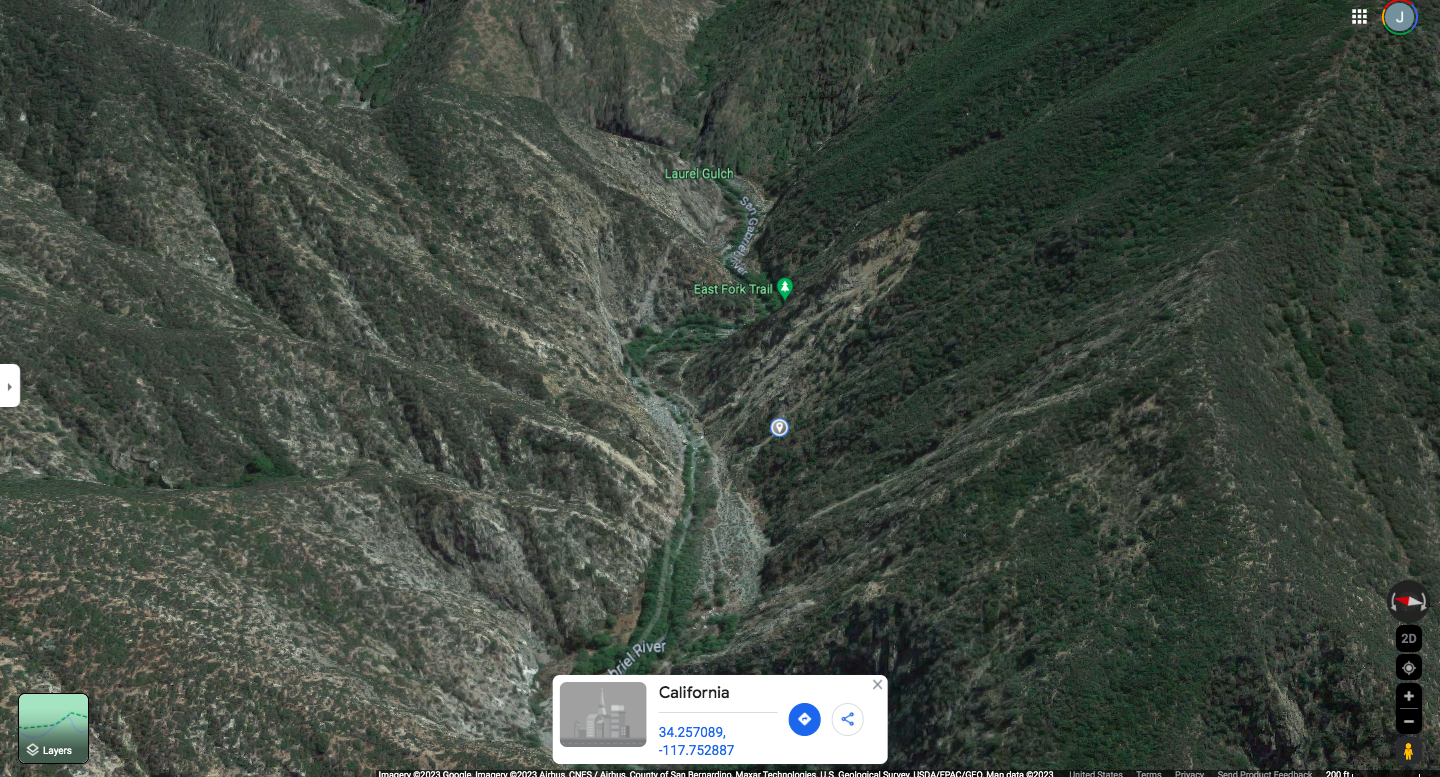
|---|
| 2023 Photo 51. Looking west down East Fork of San Gabriel River with Laurel Gulch in the center. |
| The East Fork trailhead in upper center. Center about 34.257089oN -117.752887oW. |
|
|---|
| 1996 Photo 52. ???? |
|
|---|
| 1996 Photo 53. San Gabriel Dam and Morris Dam from the north. |
|
|---|
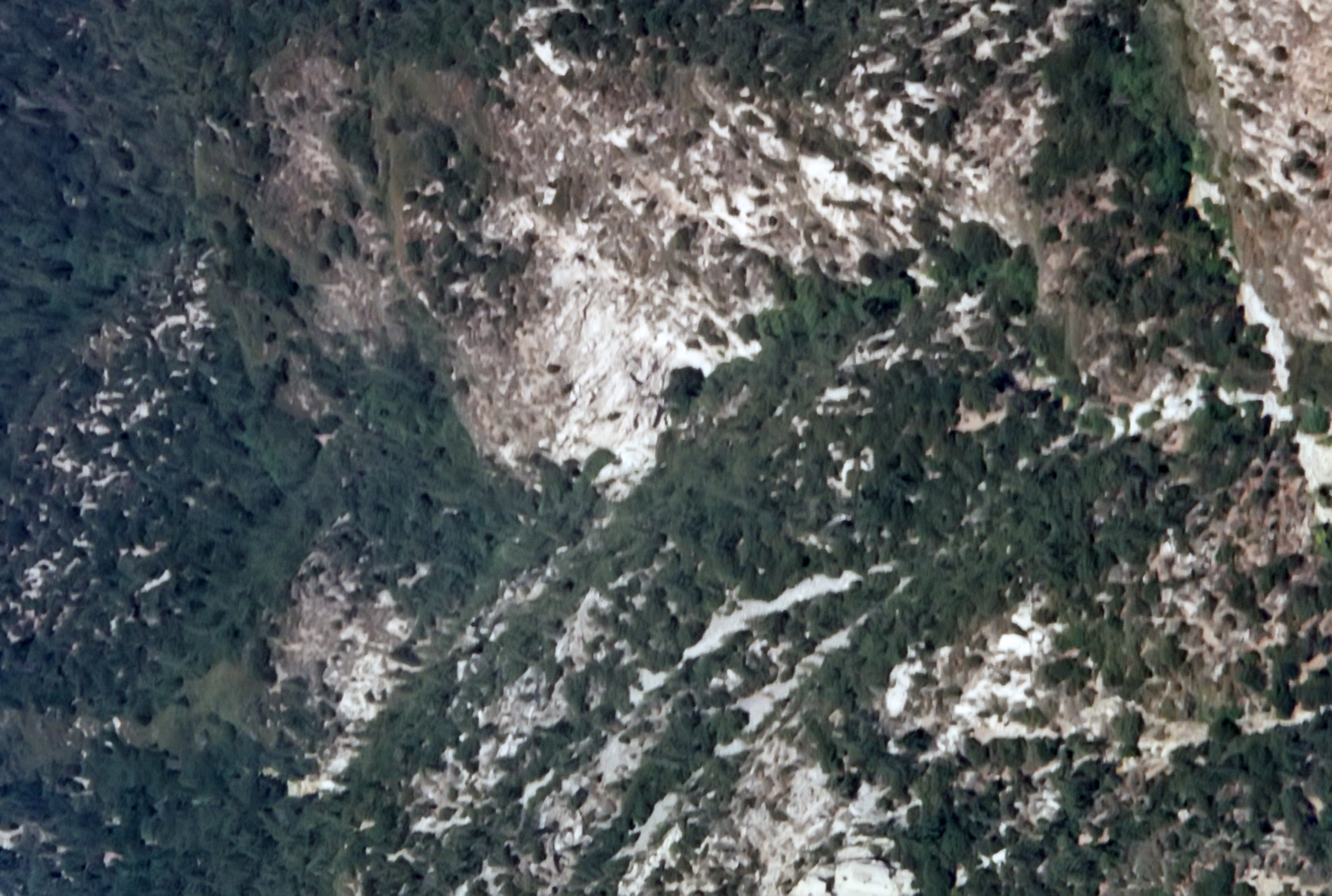
| 1996 Photo 54. Looking down Bear Creek to the narrows. |
|
|---|
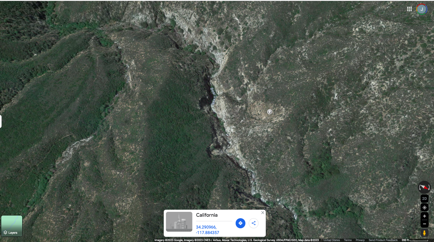
| 2023 Photo 54. Looking down Bear Creek to the narrows with a trail visible on the left. |
| Center about 34.290966oN -117.884357oW. |
|
|---|
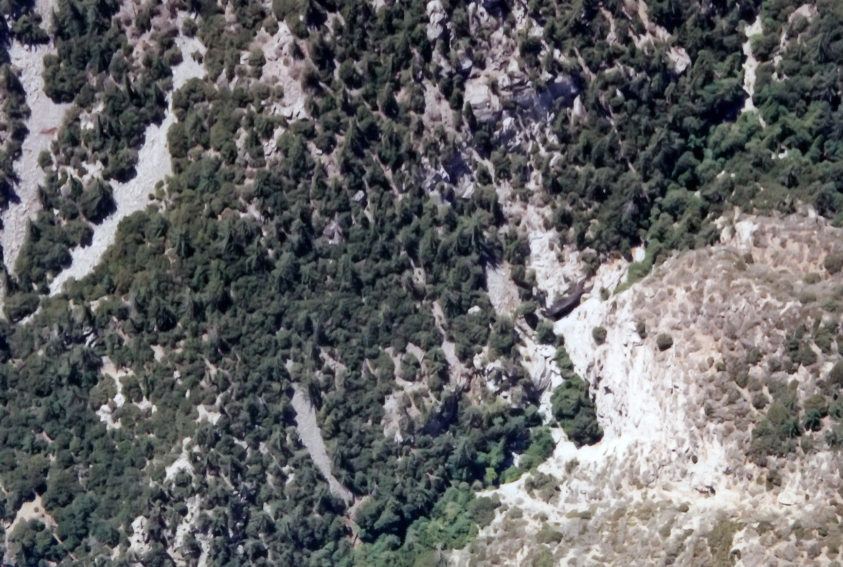
| 1996 Photo 55. Looking west up an unnamed canyon south of Twin Peaks |
| and a notable drop-off in the center. |
|
|---|
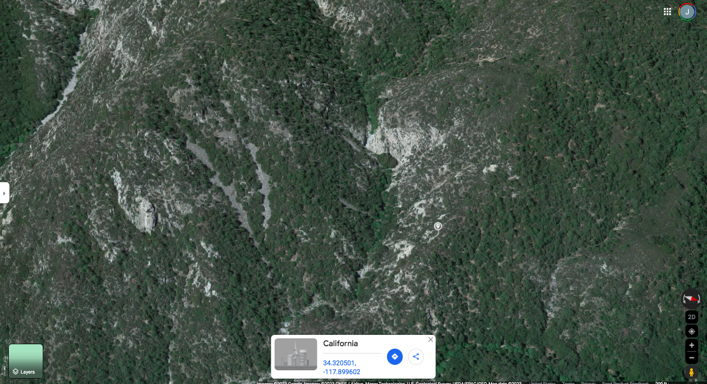
| 2023 Photo 55. Looking west up an unnamed canyon south of Twin Peaks and a notable drop-off in the center. |
| Center about 34.320501oN -117.899602oW. |
|
|---|
| 1996 Photo 56. Looking southeast into an unnamed canyon south of Twin Peaks |
| and a notable drop-off in the center. |
|
|---|
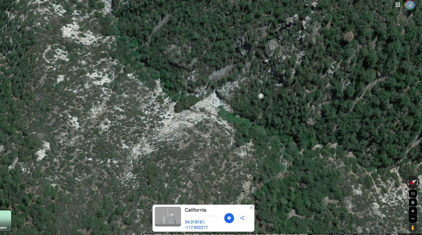
| 2023 Photo 56. Looking southeast into an unnamed canyon south of Twin Peaks and a notable drop-off in the center. |
| Center about 34.318161oN -117.902217oW. |
|
|---|
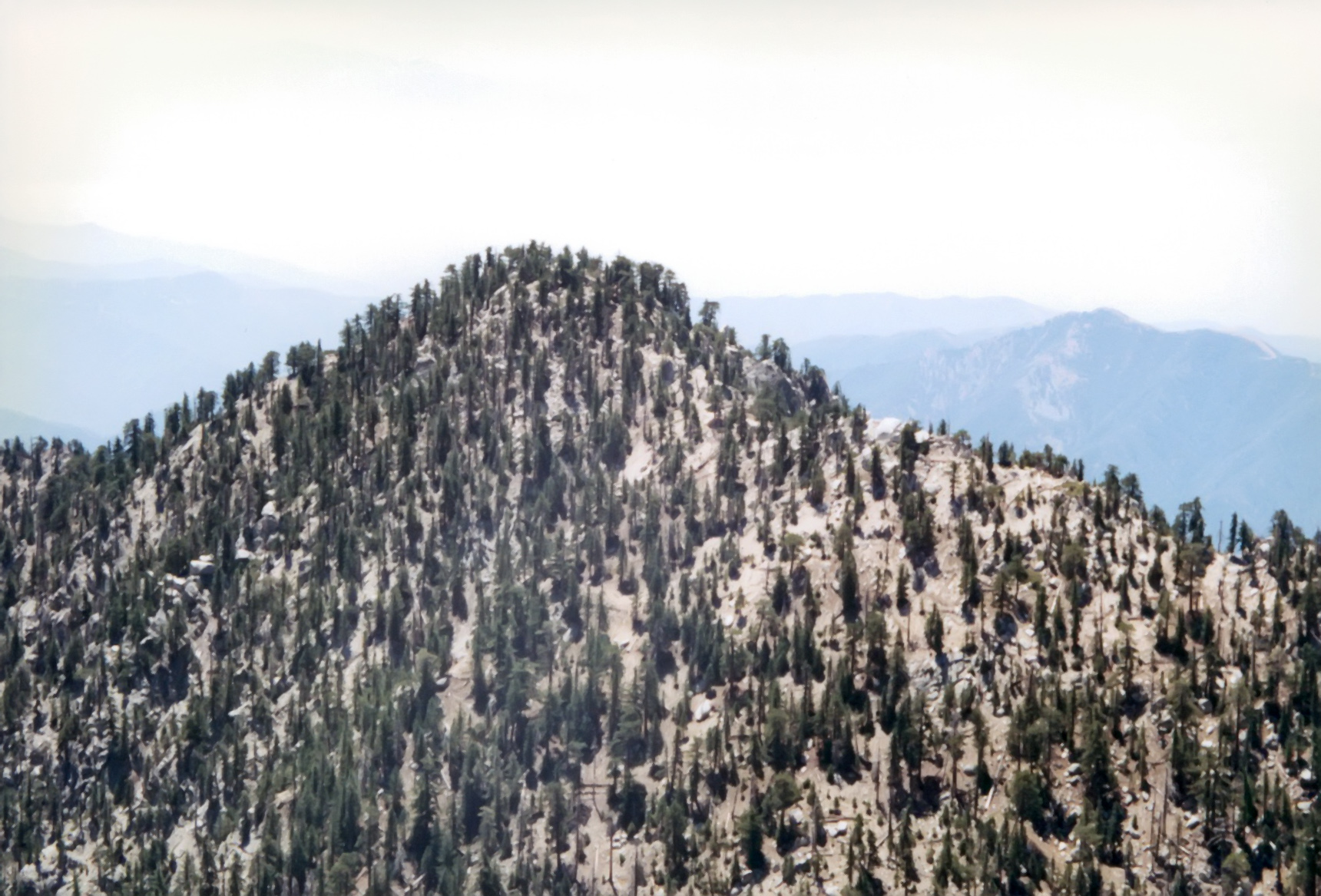
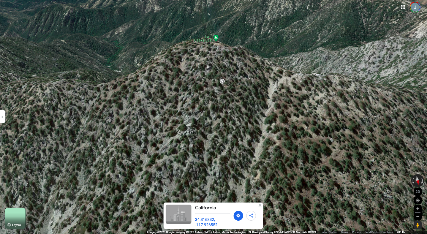
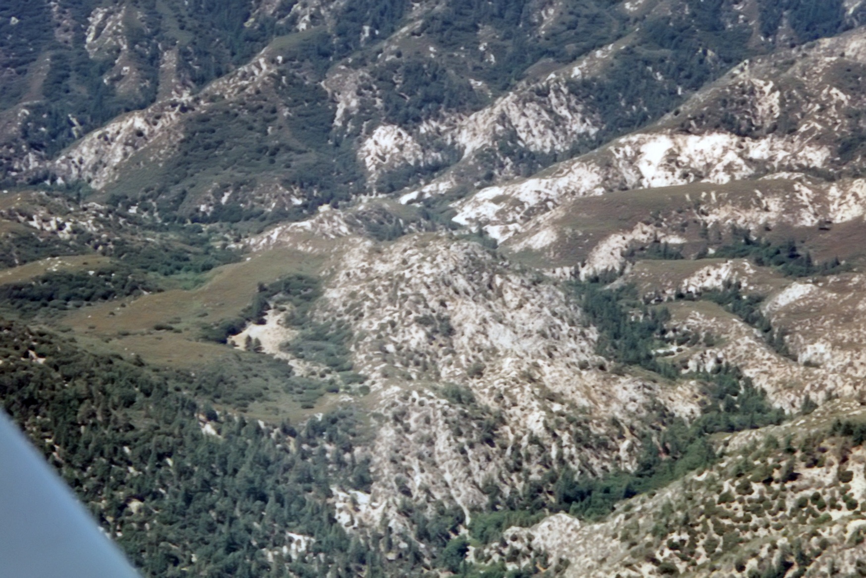
| 1996 Photo 57. Looking north at Twin Peaks East. |
|
|---|
| 2023 Photo 57. Looking north at Twin Peaks East. Center about 34.316832oN -117.926552oW. |
|
|---|
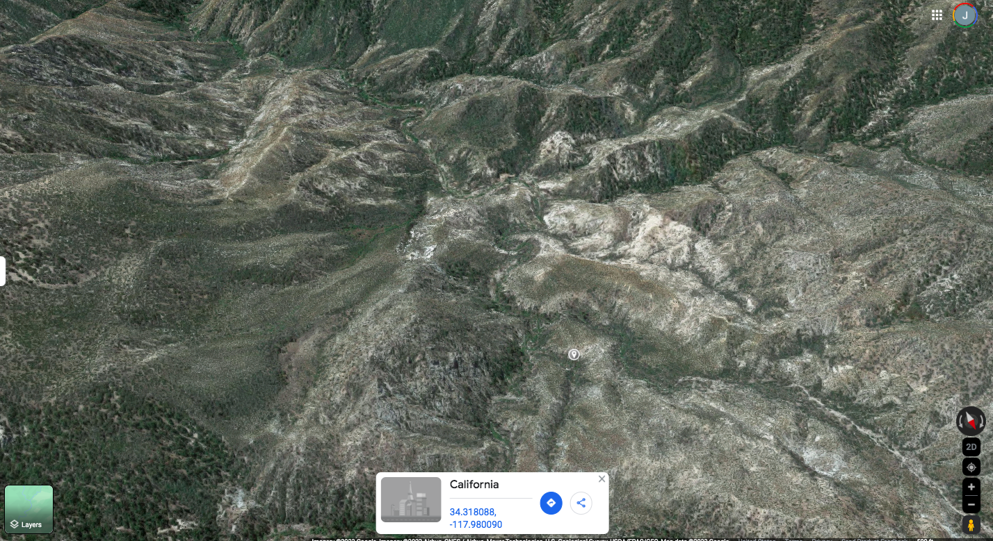
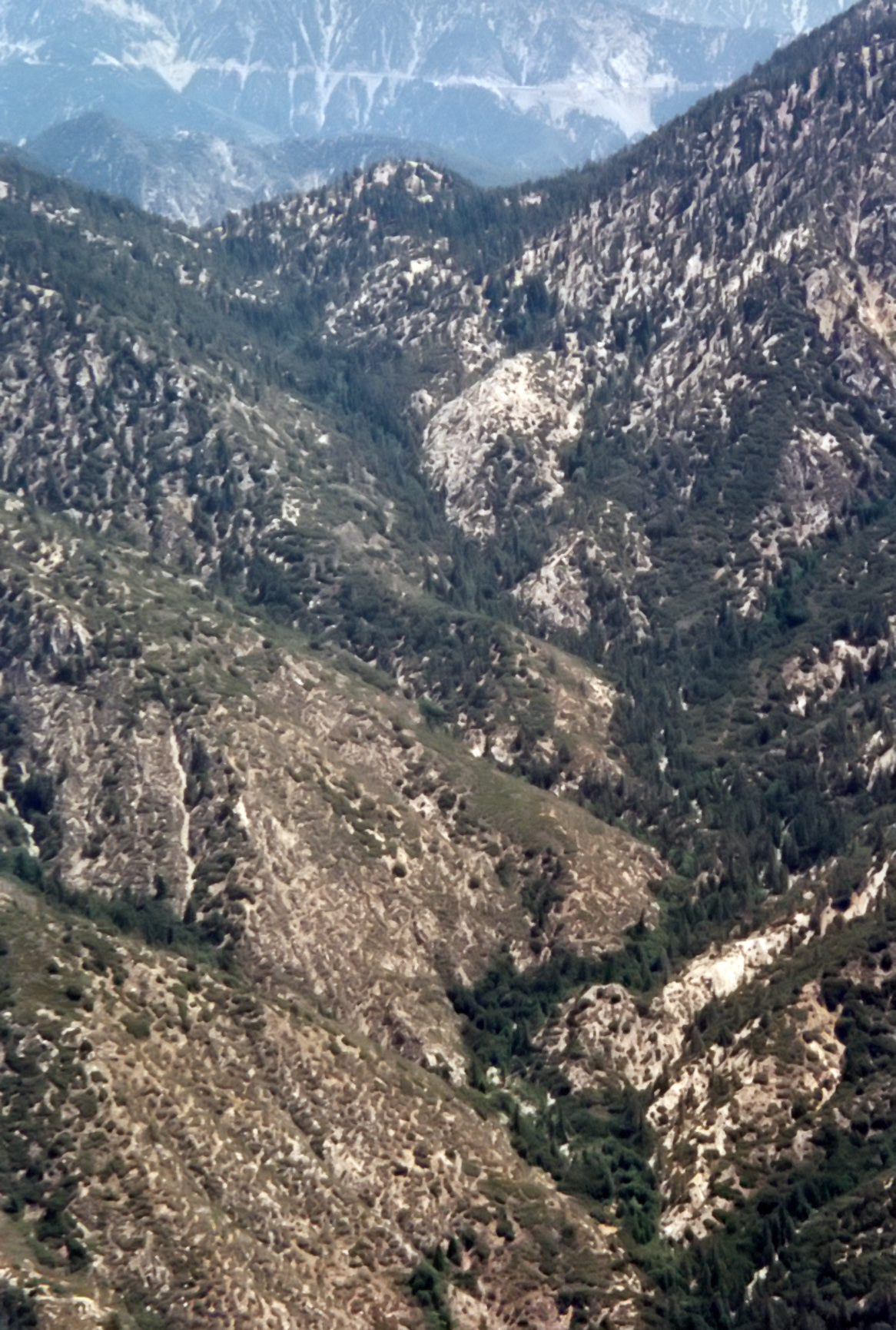
| 1996 Photo 58. Looking south down Upper Devils Canyon. |
|
|---|
| 2023 Photo 58. Looking south down Upper Devils Canyon. Center about 34.318088oN -117.980090oW. |
|
|---|
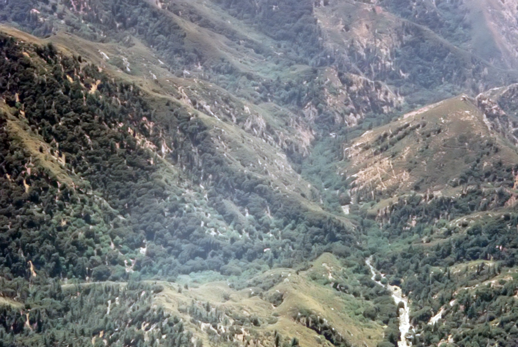
| 1996 Photo 59. North Fork of Santa Anita Canyon from the south with Newcomb Pass |
| at the top. The Angeles Crest Highway in the far distance. |
|
|---|
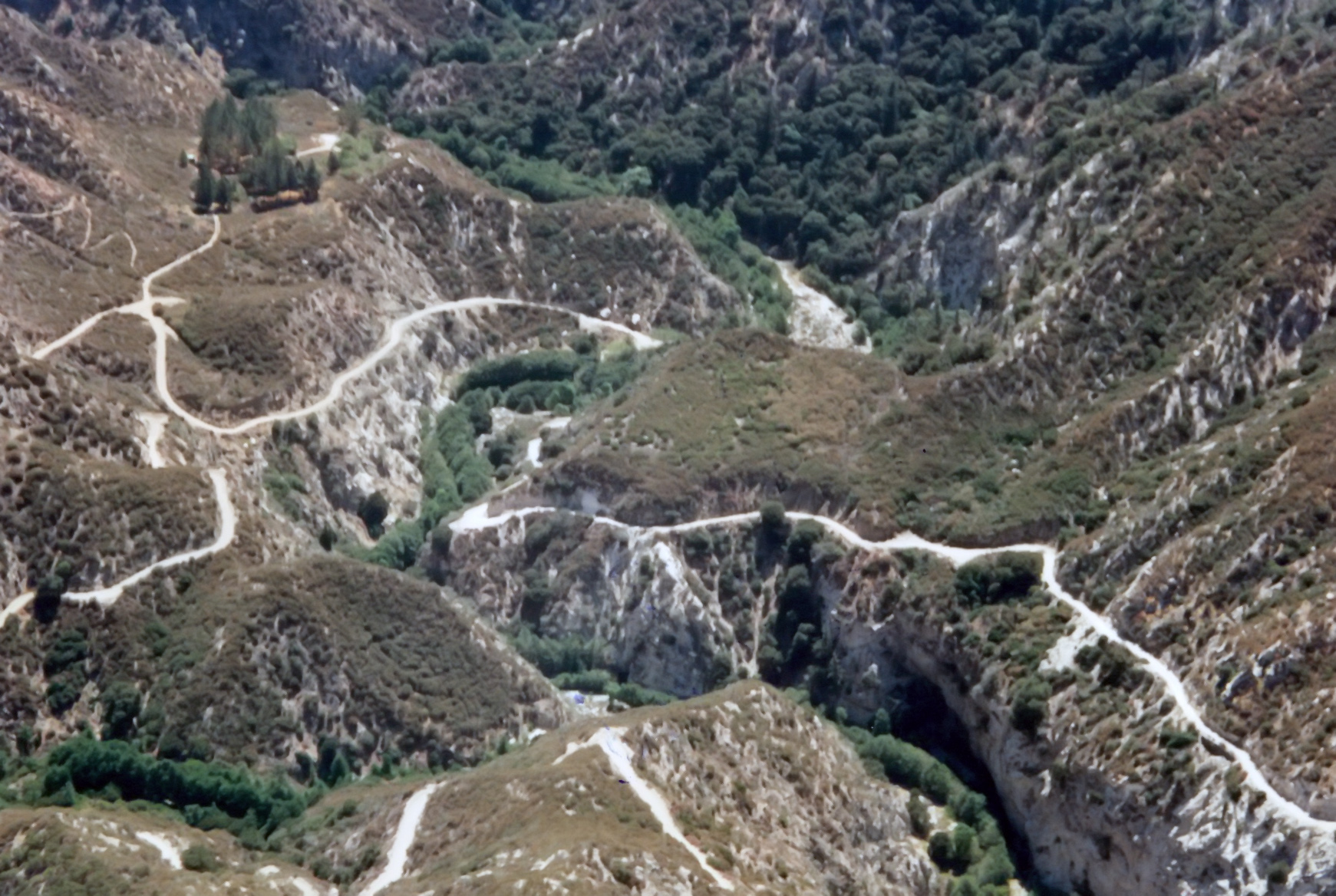
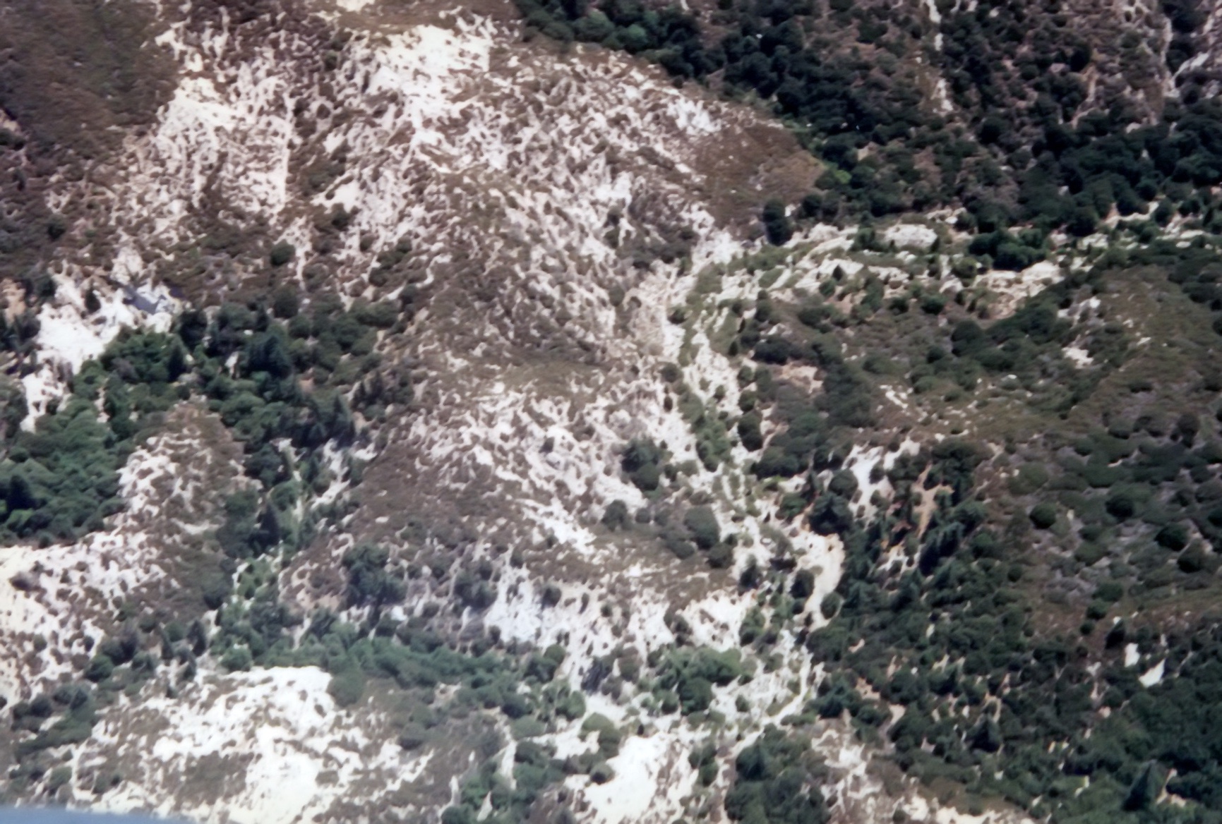
| 1996 Photo 60. Looking north into West Fork of San Gabriel River with Devore Trail Camp in center. |
| Rincon/Red Box road along the bottom and the road up to Shortcut running north. |
|
|---|
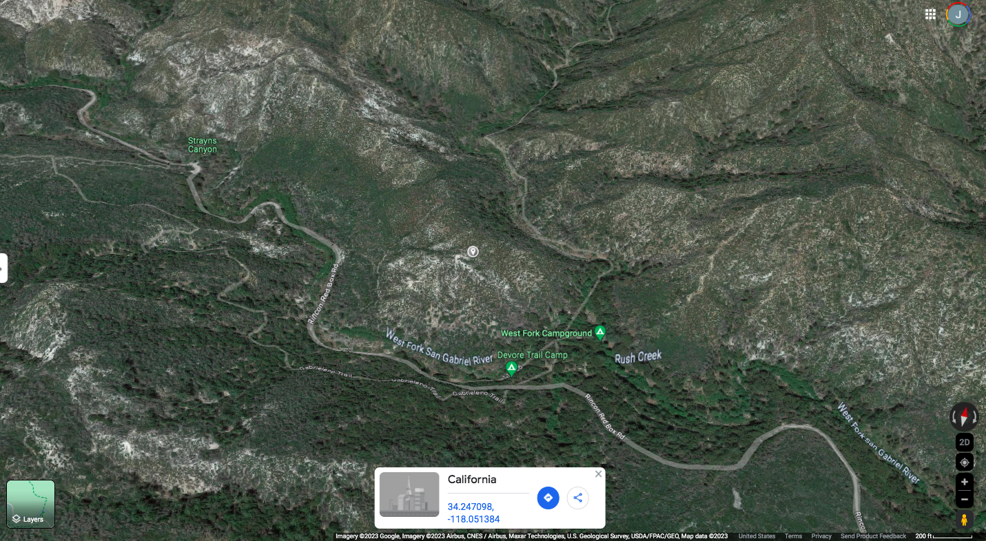
| 2023 Photo 60. Looking north into West Fork of San Gabriel River with Devore Trail Camp in center. |
| Rincon/Red Box road along the bottom and the road up to Shortcut running north. |
| Center about 34.247098oN -118.051384oW. |
|
|---|
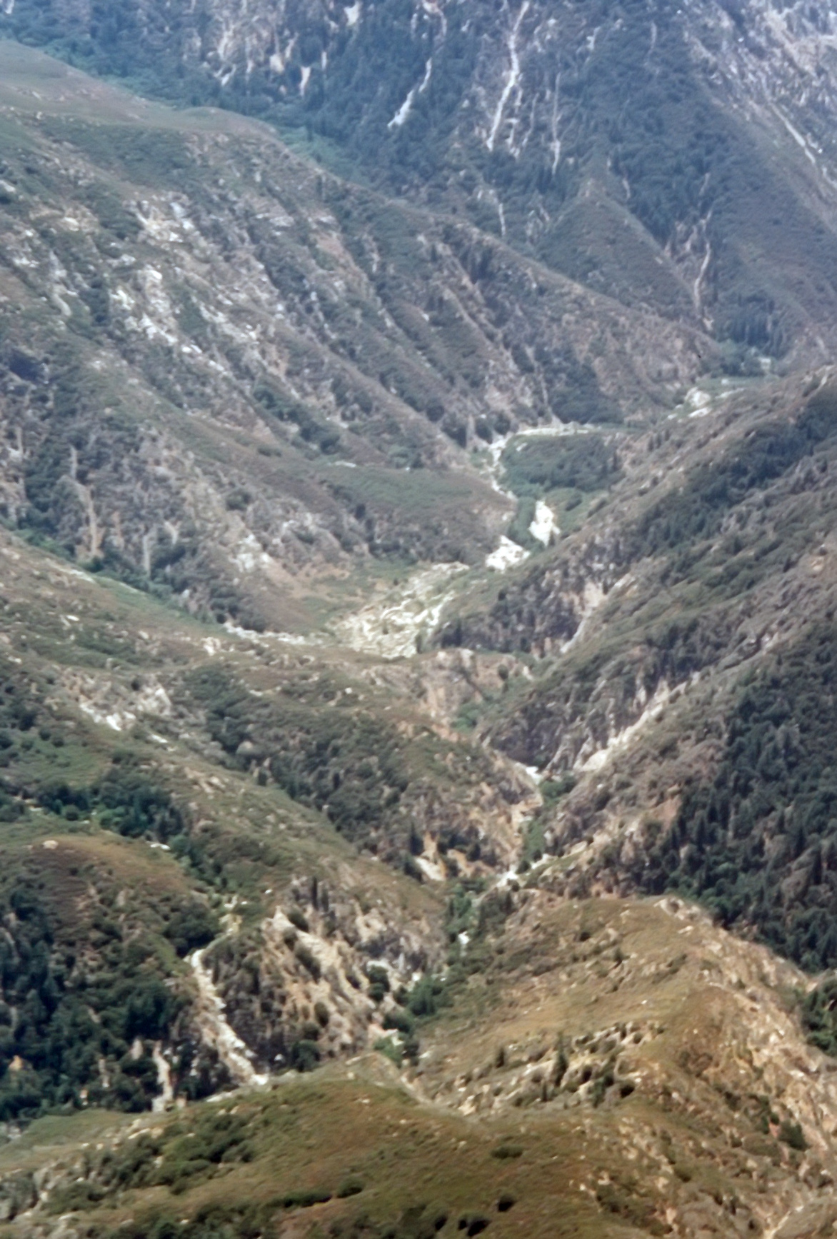
| 1996 Photo 61. Upper West Fork of the San Gabriel River. |
|
|---|
| 1996 Photo 62. Lower Devil's Canyon in the lower right with the empty Cogswell Reservoir on the right |
| leading into West Fork of the San Gabriel on the left. |
|
|---|
| 1996 Photo 63. West Fork of the San Gabriel with Bear Canyon entering in the bottom center. |
|
|---|
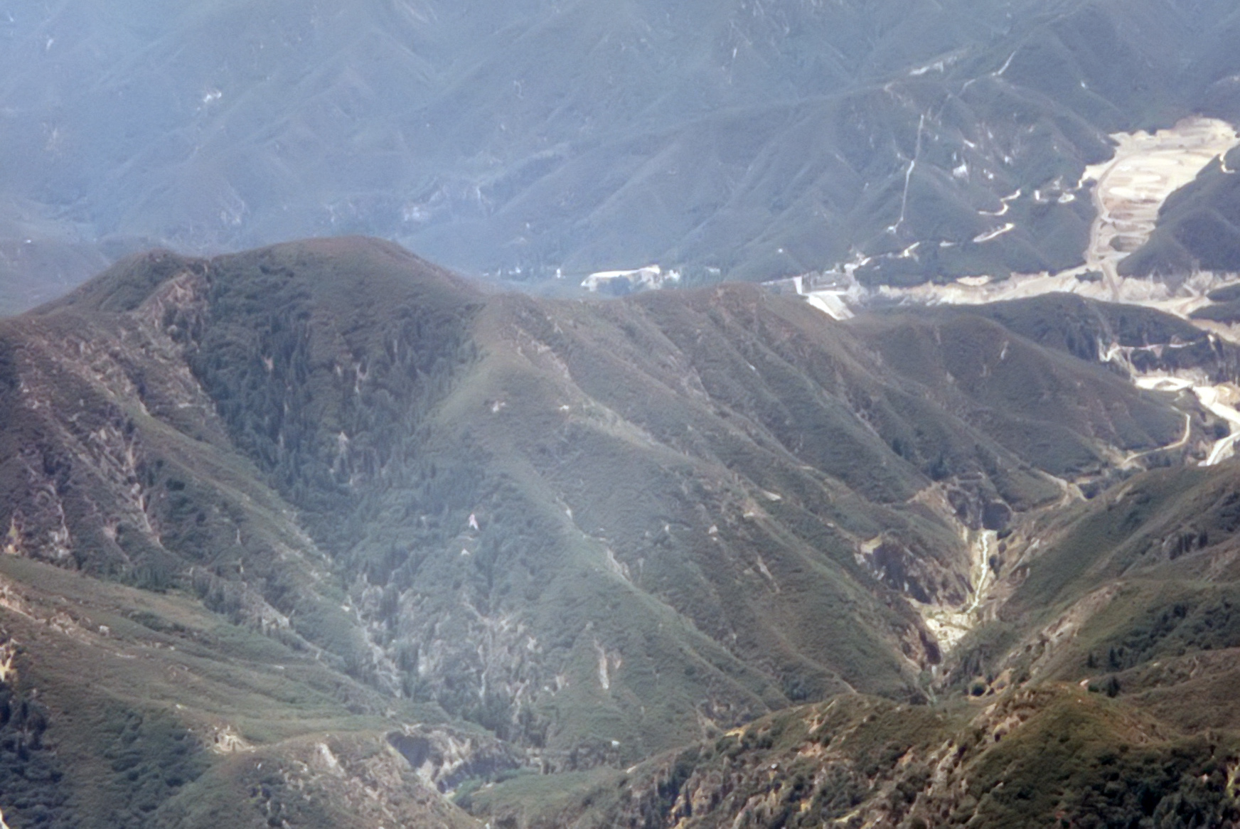
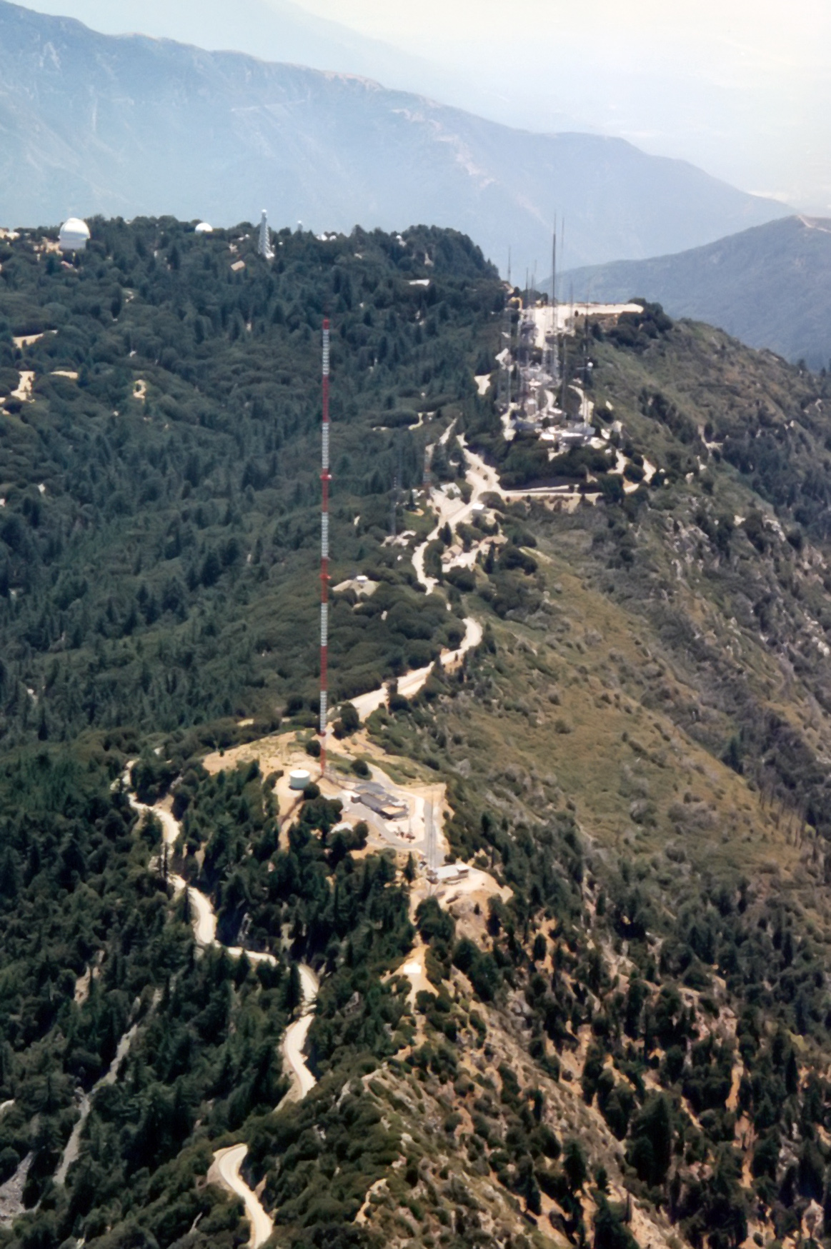
| 1996 Photo 64. Summit of Mount Wilson from the west. |
|
|---|
| 1996 Photo 65. Upper Eaton Canyon with the trail down from Mount Lowe visible in the right center. |
|
|---|
| 1996 Photo 66. The Narrows in lower Eaton Canyon with Telephone Flat in the top center. |
| The Gully in the center and the canyon below the Narrows heading off top right-center. |
|
|---|
| 1996 Photo 67. Telephone Trail down into Eaton Canyon with Henninger Flats Road |
| in the upper left and Telephone Flat in the bottom right. |
|
|---|
| 1996 Photo 68. Eaton Canyon with the Telephone Trail coming down from the upper right to |
| Telephone Flat in mid-picture and the Narrows below on the left. |
|
|---|
| 1996 Photo 69. The end of Eaton Canyon with a short section of the Toll Road in the upper right. |
| Eaton Falls are in the lower left. |
|
|---|
| 1996 Photo 70. The end of Eaton Canyon with the Toll Road just out of sight in the upper right. |
| Eaton Falls in the lower left corner. |
|
|---|
| 1996 Photo 71. The end of Eaton Canyon with Eaton Falls in the lower left corner. |
|
|---|
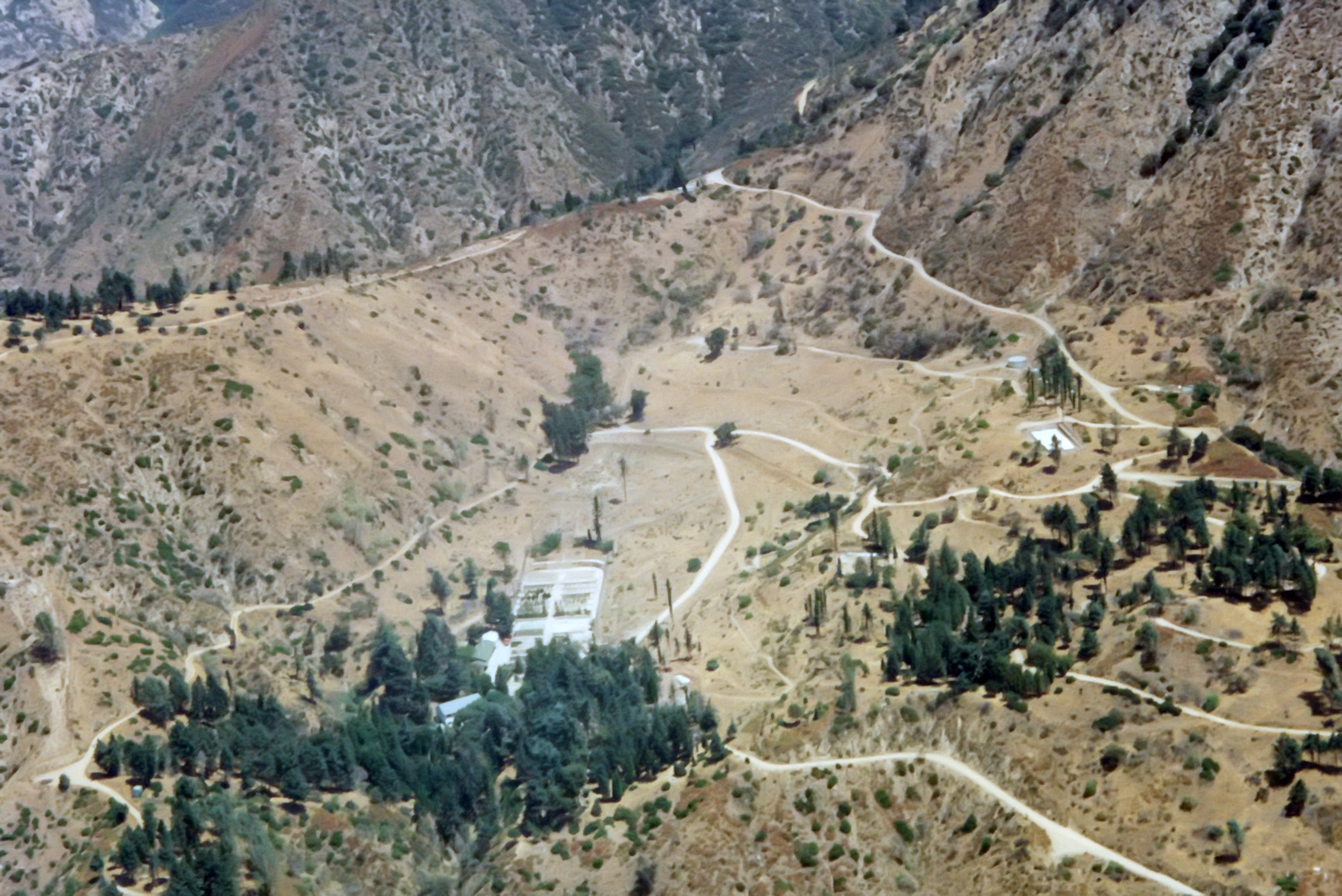
| 1996 Photo 72. Henninger Flats. |
Christopher E. Brennen